

MRF Web Map

Publish your municipality's GIS data online in hours, not days. Search, identify, edit, mark up and print from any browser, then add modules for the workflows each department owns.
MRF Web Map is MRF’s flagship GIS platform. It is designed to help organizations quickly establish a GIS portal and securely publish spatial data online to the people who need it. Developed from the ground up and refined over many years in collaboration with our municipal clients, MRF Web Map provides the foundation for MRF’s integrated suite of GIS solutions.
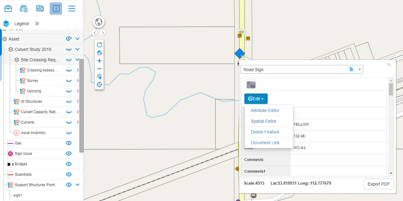
Out of the box, MRF Web Map provides a comprehensive set of intuitive mapping tools, including Identify, Search, Edit, Redline, Print, Bookmark, and more.
Building on this foundation, MRF has expanded the platform with a suite of modules and extensions designed to support a wide range of municipal workflows.
Popular MRF Web Map modules
include MRF Asset Management, MRF Work Orders, MRF Vehicle Tracking (AVL), MRF StreetView, MRF Document Management, MRF Weed and Pest Inspection, MRF Spray Truck, MRF Safety, MRF Enforcement and more.
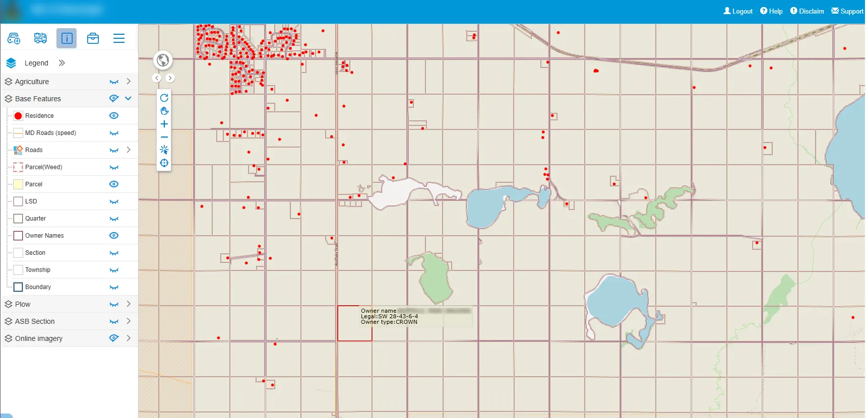
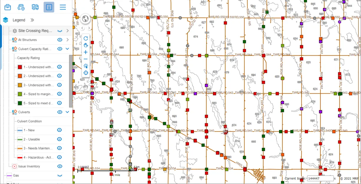
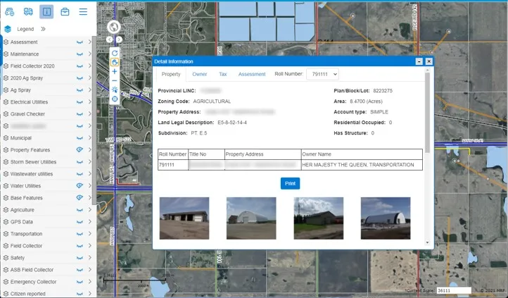
Above: Turn your own layers on and off from the legend, and click any feature for details, links and street view.
What you can do with MRF Web Map
Essential map tools, ready on day one
Identify, search, edit, redline, measure, print and bookmark, with no desktop GIS licence required.
A platform, not a viewer
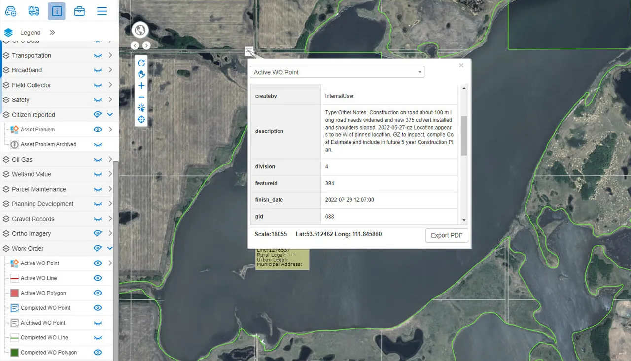
Asset Management, Work Orders, Vehicle Tracking, StreetView, Document Management, Weed & Pest, Spray, Safety and Enforcement all plug into the same map.
Any device
Built on HTML5, so it runs in desktop and mobile browsers, including iPad and Android, for staff in the office or on site.
Proven in local government
Developed in-house and continuously improved, MRF Web Map is trusted by 60+ municipalities across Canada.
A closer look
“The GIS and AVL offer very advanced capabilities and are very easy to use. We have achieved better productivity in all departments, including Public Works, Utilities, Planning and Fire Services.”
Works well with

See it working with your own data.
Book a demo and we’ll walk you through the products that fit your departments, configured for organizations like yours.