

Smart maps and geospatial tools for airport planning and operations.
Airports are cities in their own right, with terminals, airfields, leased spaces, baggage systems and protected airspace that reaches well beyond the fence line. The MRF Airport Mapping Solution brings this information together with smart maps and advanced geospatial tools for planning, operations and development review.
Why choose the Airport solution
Proven at Canada's largest airport
Implemented at Toronto Pearson International Airport for the Greater Toronto Airports Authority.
CAD and BIM to one map
Bring DGN, BIM and other design data into one consistent, maintained spatial database.
Plan in 3D
Explore mid- and long-term structures, land-use plans and terminals in an immersive 3D view.
Protect the airspace
Check proposed developments against takeoff and landing surfaces before they become a problem.
Products in the Airport solution
Use them on their own or together. They share the same map, users and data.
Development Application Review Tool (DART)
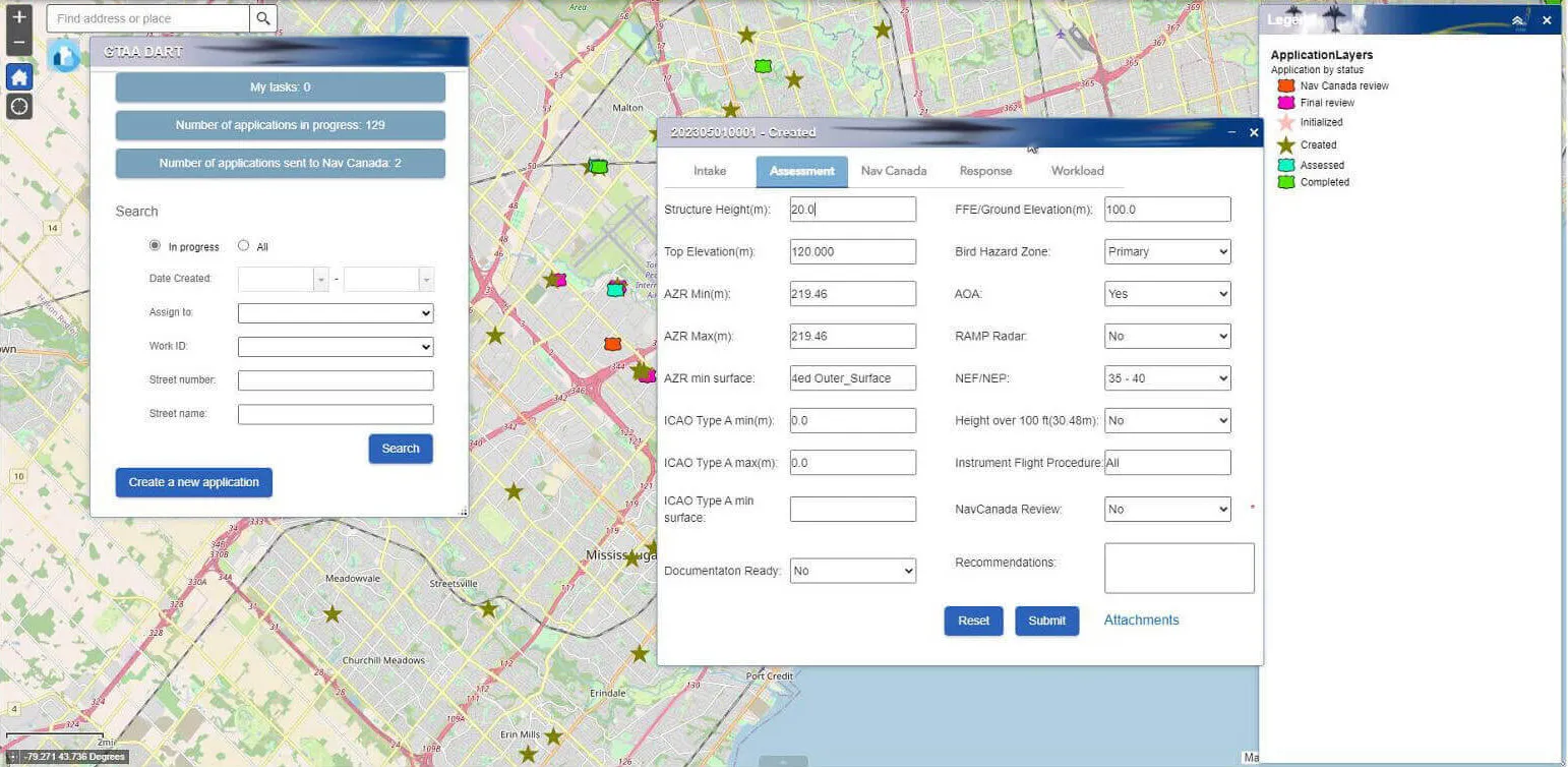
Generate, manage and report on development applications, check proposed developments against takeoff and landing surfaces automatically, and see every application on one dashboard.
Learn more →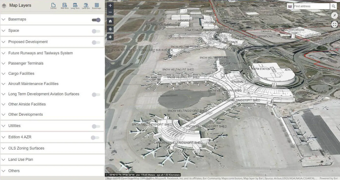
Land Use Allocation Framework (LUA)
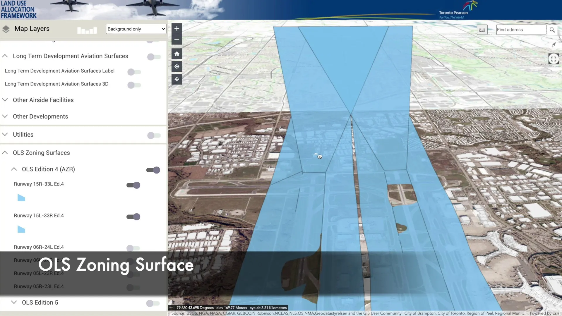
Visualize mid- and long-term structures, land-use plans and terminals in 3D, drill into the attributes of every asset, and bring plans to life with interactive video.
Learn more →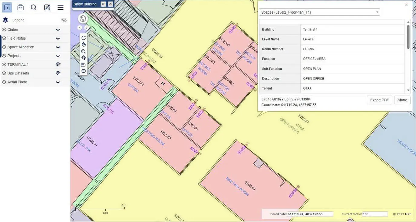
Enterprise Smart Mapping (ESM)
An enterprise mapping platform for airports: convert CAD and BIM into one spatial database, keep it current, and deliver it securely to staff on the web and mobile, in 2D or 3D.
Learn more →More solutions
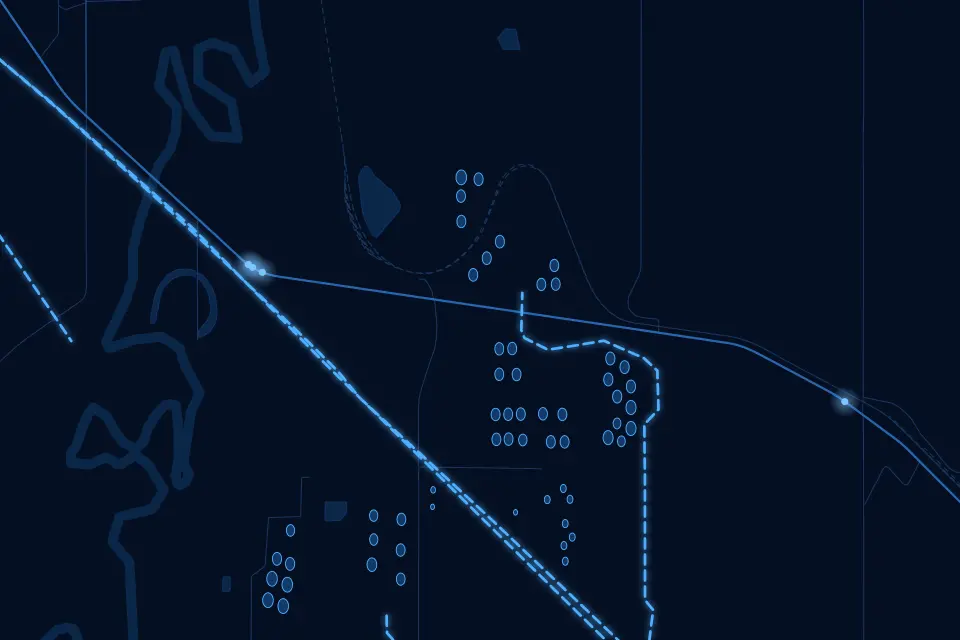 Oil & GasPipeline maps, records and documents that work in the field, online or off.
 Indoor PositioningPrecise indoor positioning and wayfinding inside large buildings and campuses.
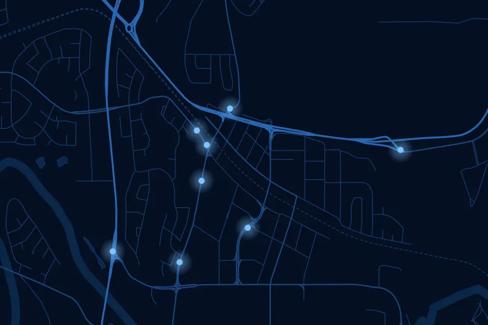 Community SafetyA crowd-sourced map where residents report incidents and safety concerns in real time.
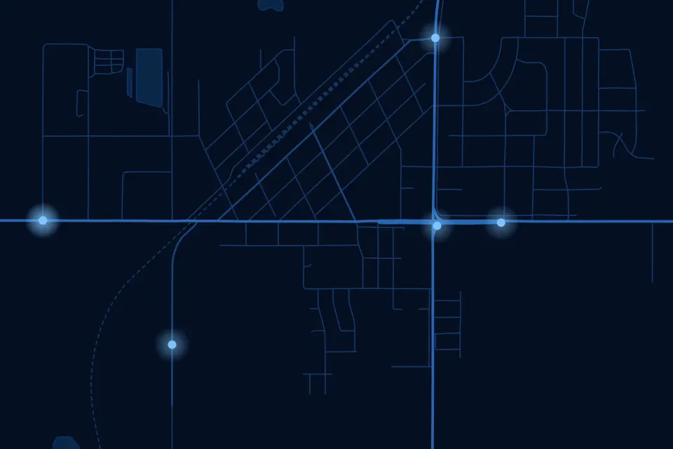 MunicipalOne map-based platform for every department in your municipality.
See it working with your own data.
Book a demo and we’ll walk you through the products that fit your departments, configured for organizations like yours.