

Enterprise Smart Mapping (ESM)
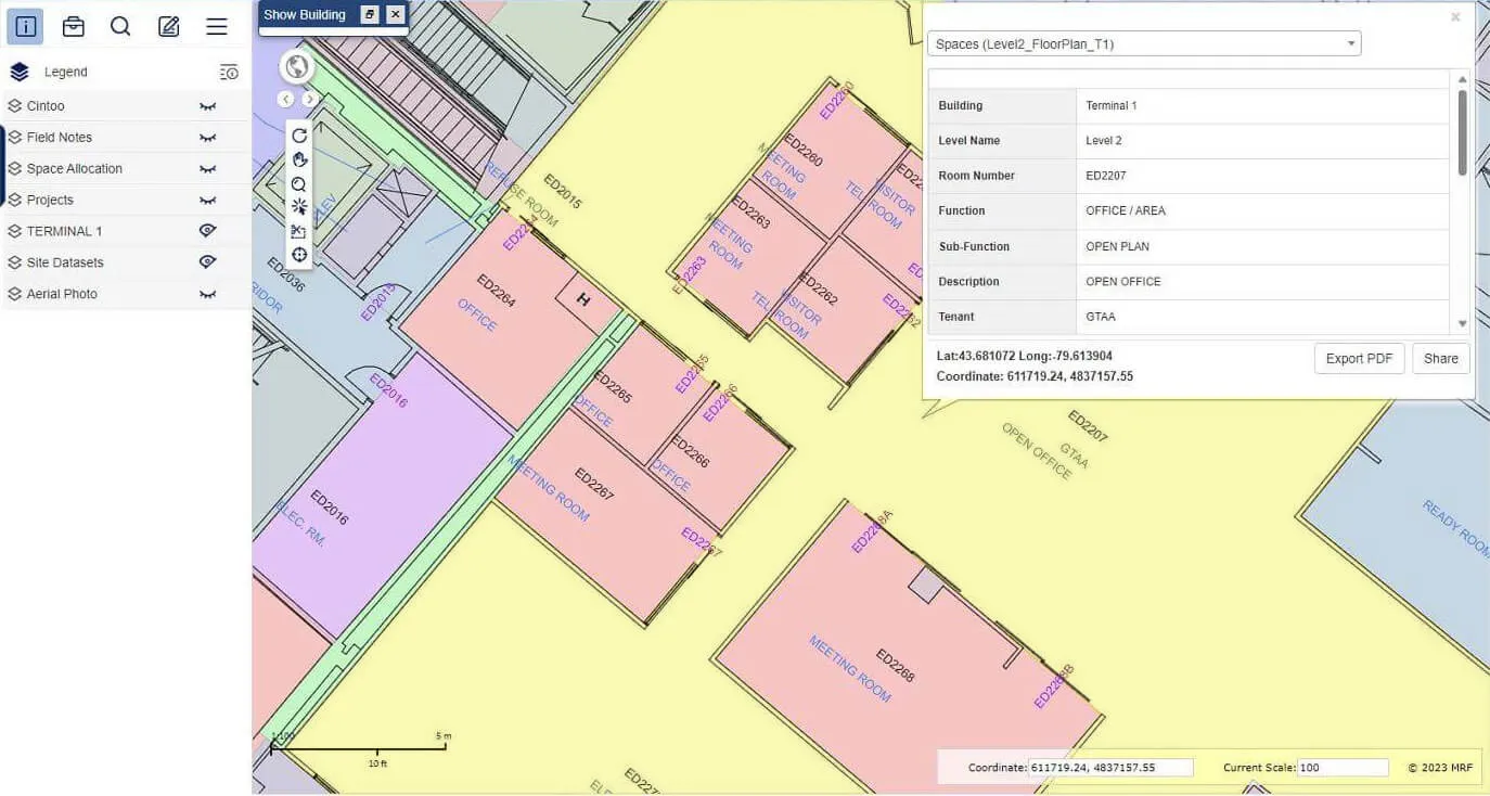
An enterprise mapping platform for airports: convert CAD and BIM into one spatial database, keep it current, and deliver it securely to staff on the web and mobile, in 2D or 3D.
Enterprise Smart Mapping (ESM) gives the Greater Toronto Airports Authority real-time mapping of Toronto Pearson’s terminals, airfields, leased spaces and baggage systems. It turns scattered design files into one living map that operations, facilities and planning teams can rely on.
Above: 2D and 3D viewing on the web and mobile.
What you can do with Enterprise Smart Mapping
Data conversion
Merge data from varied sources such as DGN and BIM into one consistent, accessible database.
Maintenance and updates
Versatile tools to maintain and update spatial data, so decisions are made on current information.
Role-based access
Windows credentials and role-specific privileges keep data secure and protect its integrity.
Web maps and mobile apps
View the airport in 2D or 3D, and report asset problems from mobile devices.
Works well with
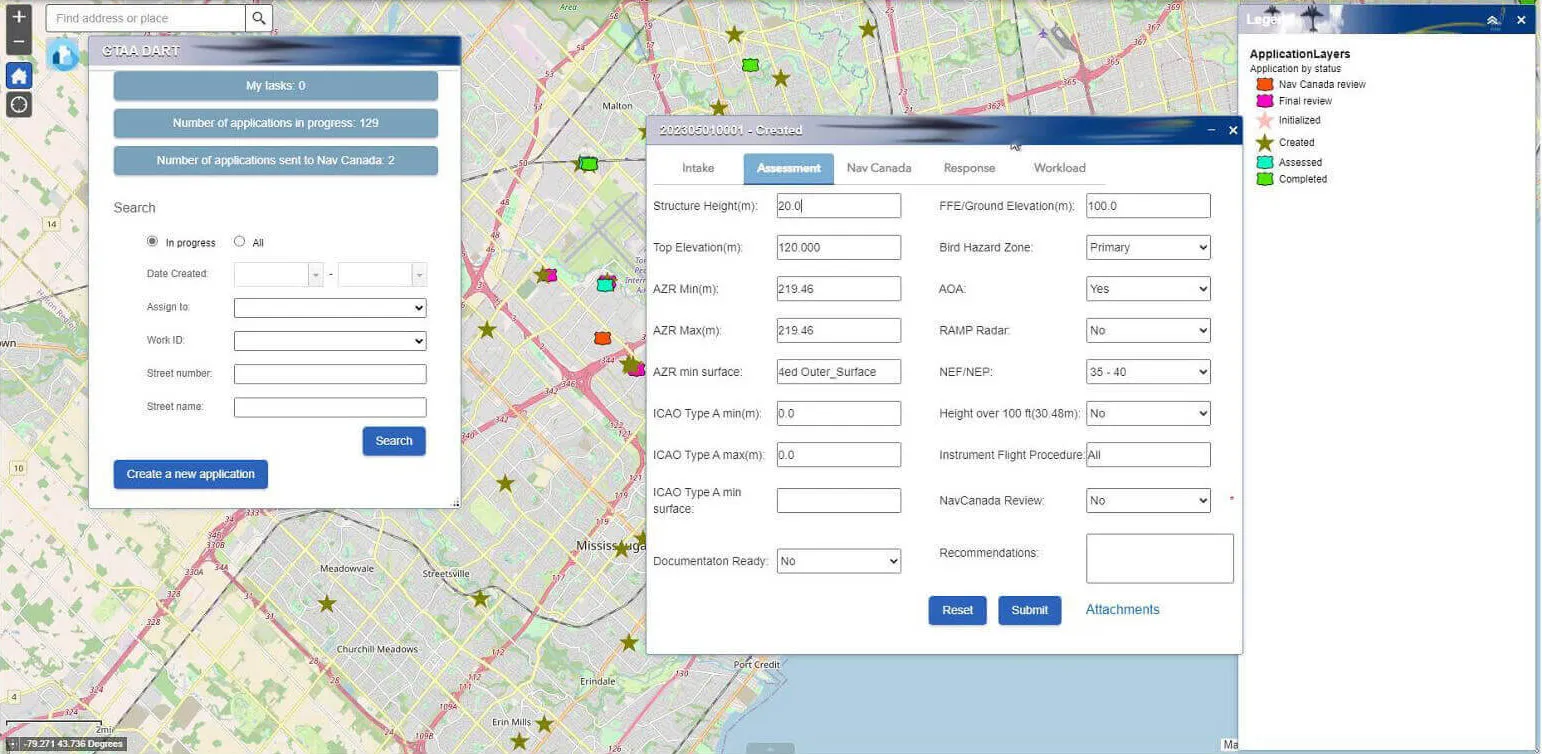
Development Application Review Tool (DART)
Track development applications and test them against protected airspace.
Learn more →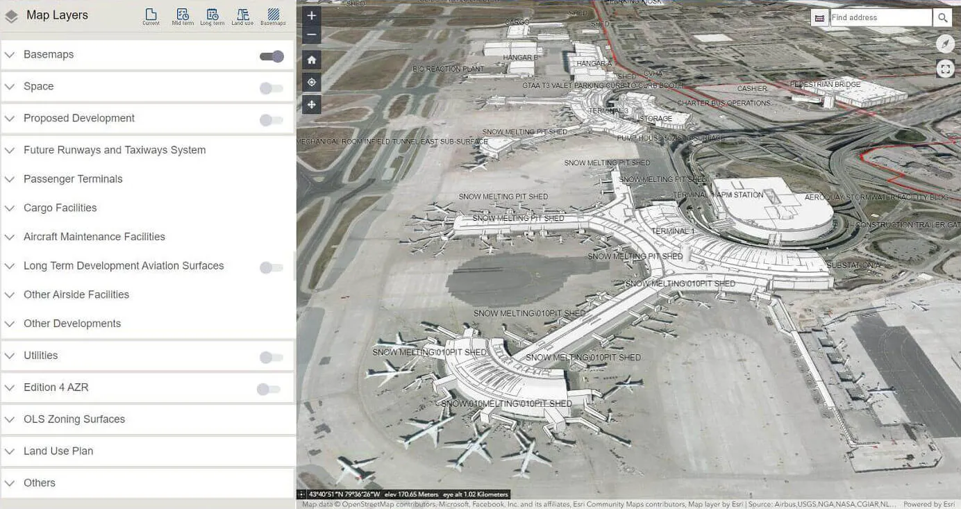
Land Use Allocation Framework (LUA)
Explore long-term airport land-use plans in immersive 3D.
Learn more →
MRF Web Map
The browser-based GIS platform at the heart of every MRF solution.
Learn more →
See it working with your own data.
Book a demo and we’ll walk you through the products that fit your departments, configured for organizations like yours.