
Field record-keeping for weed, pest, mowing and spray programs.
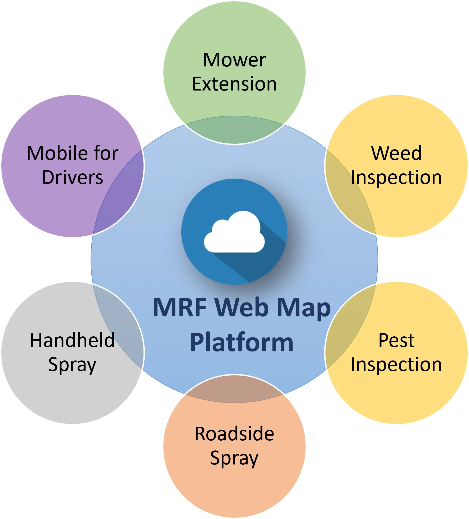
Tailored for municipalities, the MRF Agricultural Solution simplifies the record-keeping behind essential field programs. It includes specialized applications for weed inspection, pest inspection, mowing operations, handheld spraying and spray trucks, all feeding the same map your municipality already uses.
Why choose the Agricultural solution
Records that hold up
Every inspection, spray pass and mowing run is time-stamped, GPS-located and tied to an operator.
Protect no-spray zones
Spray trucks automatically shut off approaching no-spray zones, and crews can see what's already been treated.
Built for seasonal crews
Simple phone and tablet apps that work offline in the field and sync when back in coverage.
Reports in minutes
Complaint tracking, case history and year-end reporting come straight from the data your crews collect.
Products in the Agricultural solution
Use them on their own or together. They share the same map, users and data.
Weed Inspection
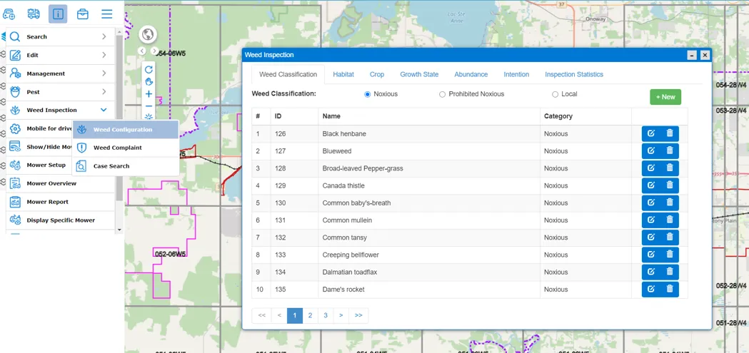
Inspectors map weed infestations in the field with GPS, record species, growth stage and habitat from pick lists, and sync to MRF Web Map, where administrators configure the program, manage complaints and search cases.
Learn more →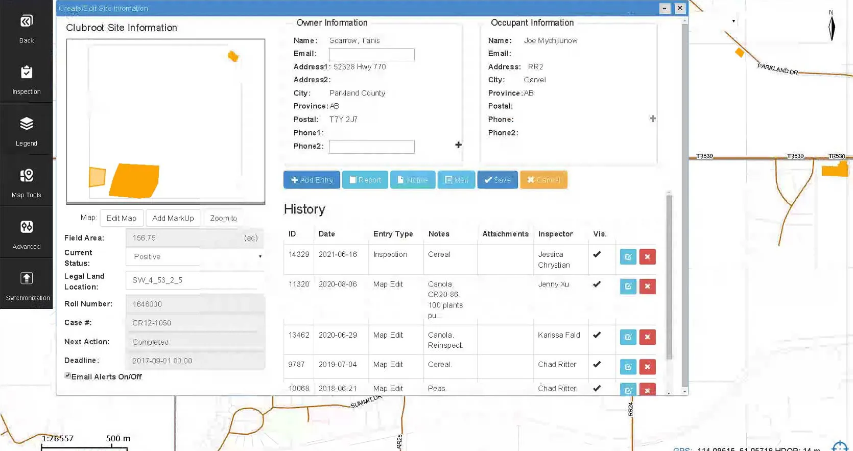
Pest Inspection
Survey and inspect for agricultural pests and diseases on a Windows tablet in the field, with every result mapped, time-stamped and ready for reporting.
Learn more →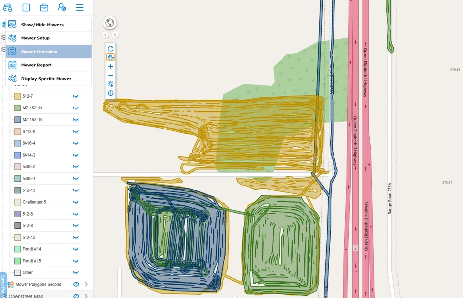
Mower Extension
Track roadside and field mowing as it happens. Each mower's coverage is drawn on the map in its own colour, so supervisors can see what's been mowed, by which unit, and report on the whole program.
Learn more →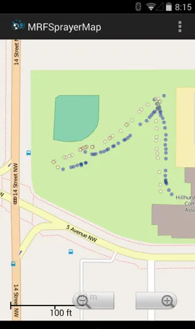
Handheld Spray
MRF's Bluetooth sensor clips onto a handheld sprayer. Every trigger pull is logged with GPS location and operator, so supervisors can see exactly what was sprayed, where, on any device.
Learn more →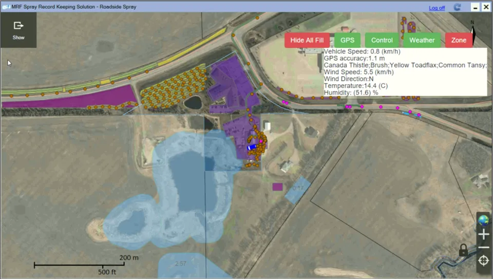
Spray Truck App
An in-cab Windows app that connects to your spray controller, GPS and weather station. It records every pass with time, operator, herbicide, target weeds, rates and weather, shows coverage from every truck, and disables spraying near no-spray zones.
Learn more →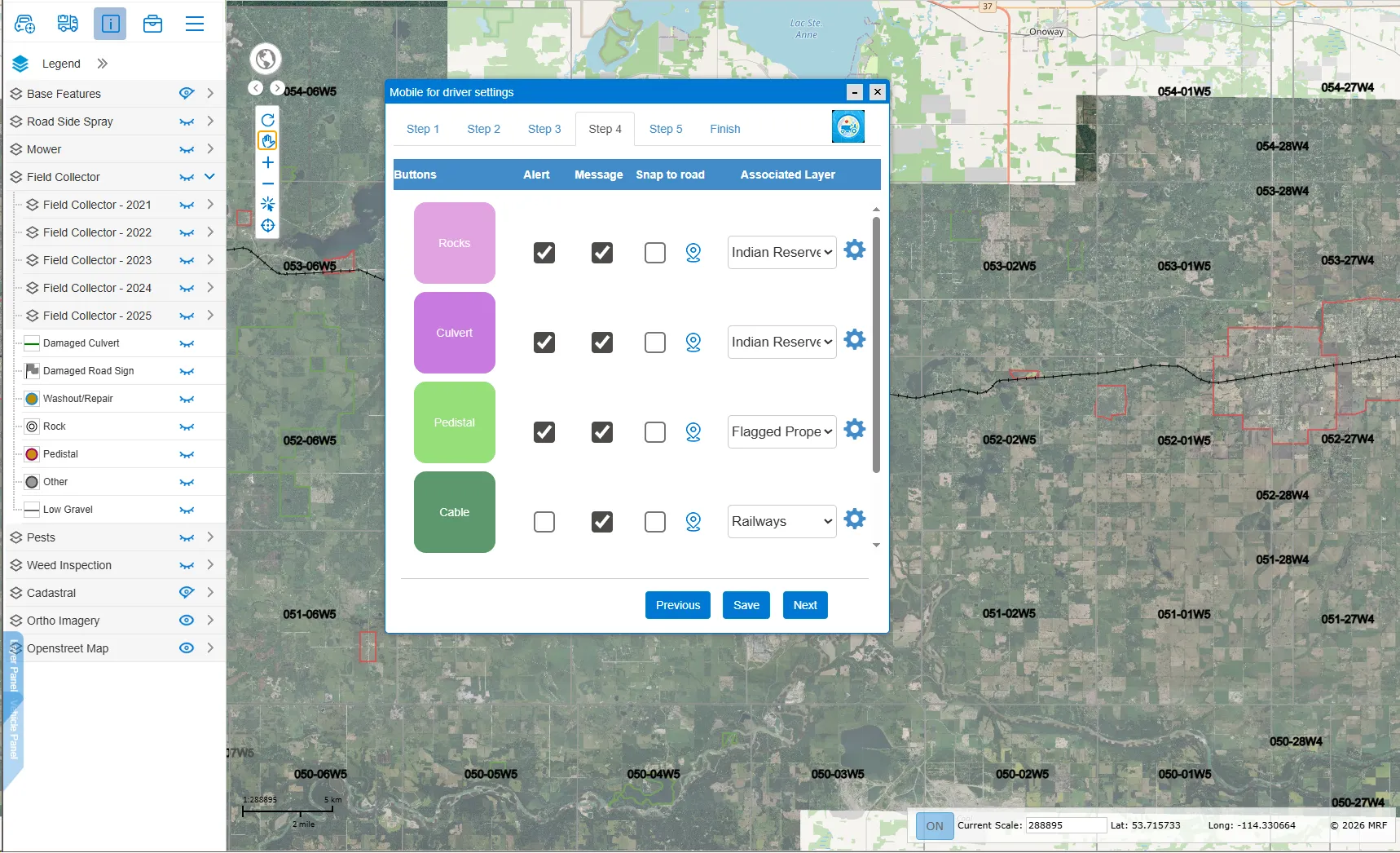
Mobile for Drivers App
Built for operators of graders, mowers and other municipal vehicles. Report road, sign and hazard issues in a tap, see recent activity on the roads you travel, and get warned about culverts, rocks and other obstacles ahead.
Learn more →
MRF Web Map
Publish your municipality's GIS data online in hours, not days. Search, identify, edit, mark up and print from any browser, then add modules for the workflows each department owns.
Learn more →More solutions
 FireAccurate maps, fast call-outs and complete records for fire departments.
 AirportSmart maps and geospatial tools for airport planning and operations.
 Oil & GasPipeline maps, records and documents that work in the field, online or off.
 Indoor PositioningPrecise indoor positioning and wayfinding inside large buildings and campuses.
See it working with your own data.
Book a demo and we’ll walk you through the products that fit your departments, configured for organizations like yours.