MRF Fall 2026 Workshop, Edmonton
- Edmonton, AB
MRF's fall 2026 workshop in Edmonton. Contact us for the agenda and to reserve your seat.

Municipal GIS, enforcement, fire, safety and field apps on one platform, trusted by communities and agencies across Canada.

From planning and public works to bylaw, fire and field crews: shared maps, shared data and products built for each team’s work.
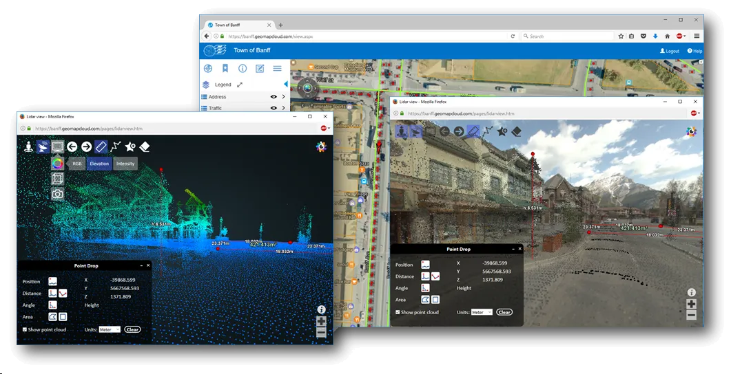
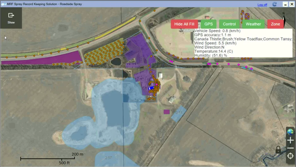
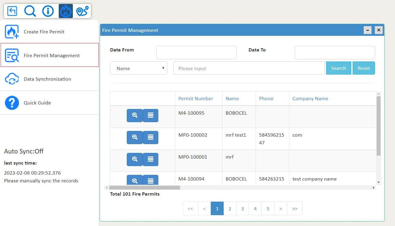
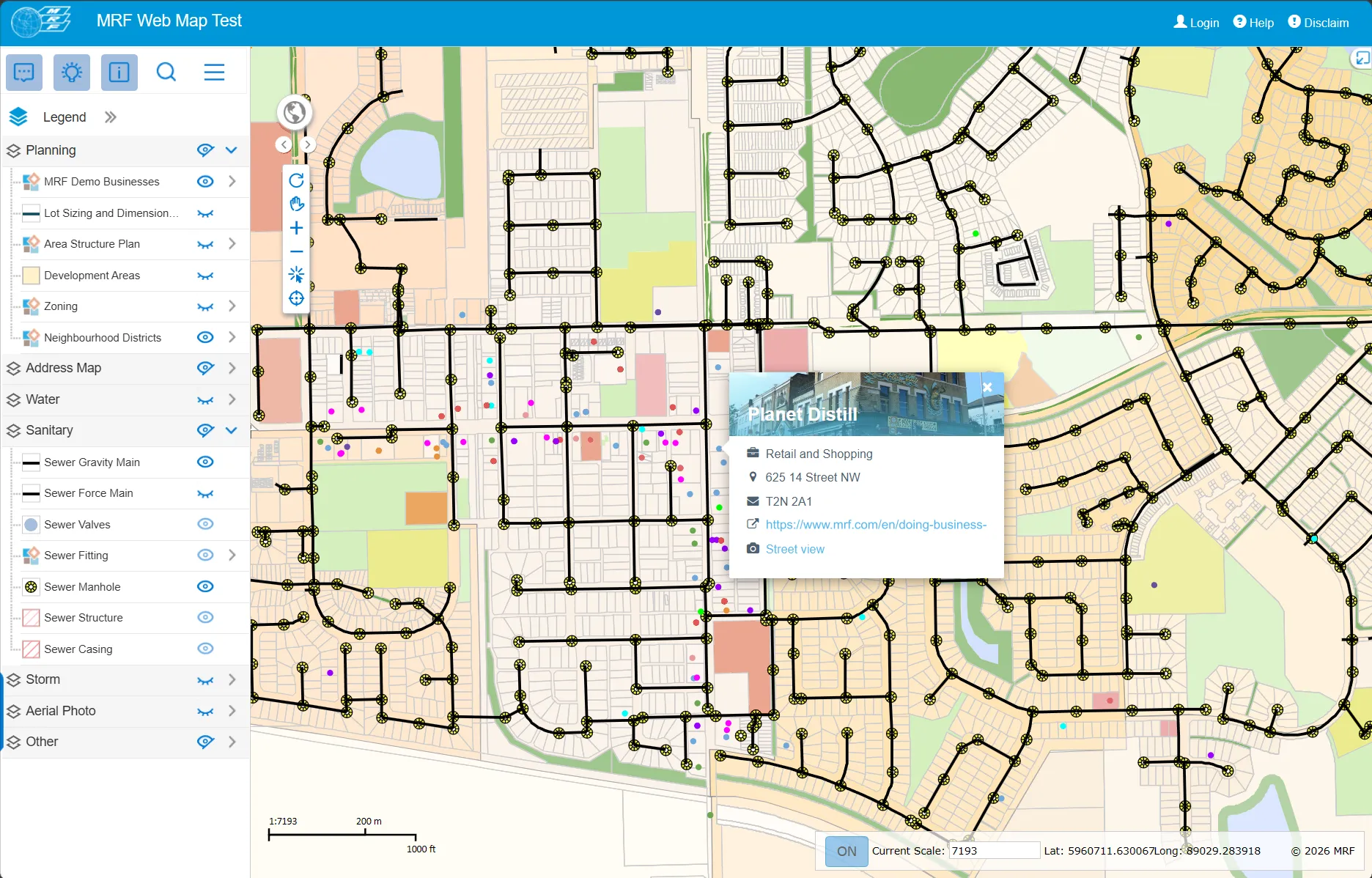
Publish your municipality's GIS data online in hours, not days. Search, identify, edit, mark up and print from any browser, then add modules for the workflows each department owns.
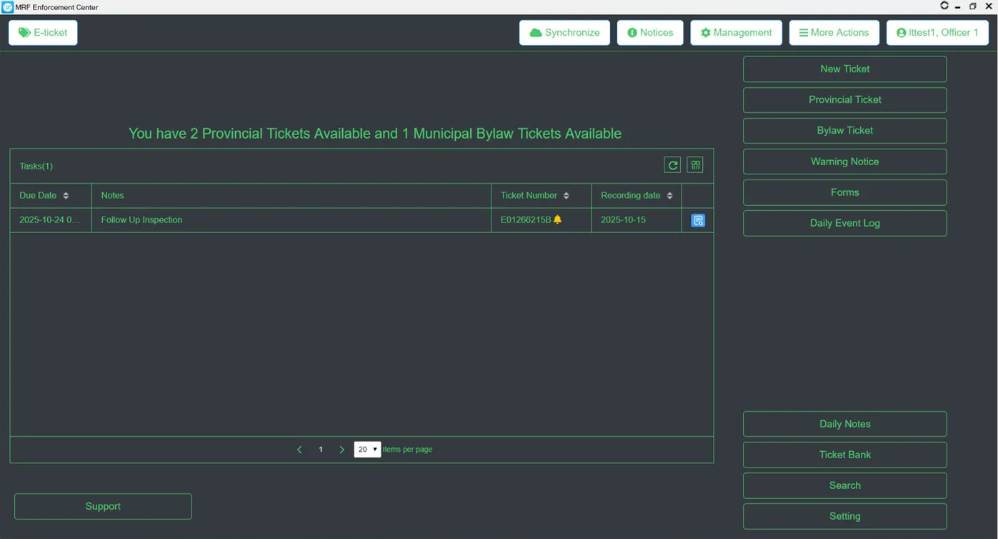
Trusted daily by 100+ enforcement agencies. Scan a licence, auto-fill known offenders, issue from 30+ digitized forms and sync to a mapped reporting portal, even with no signal.
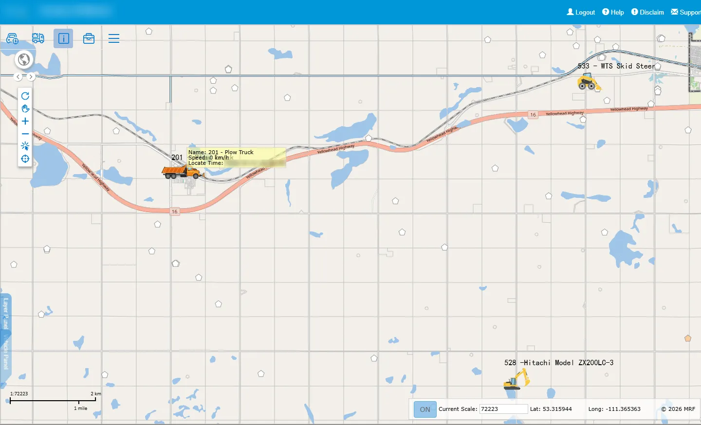
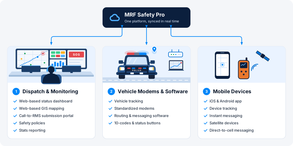
Used by dispatch and monitoring centres across Canada for fire, EMS, enforcement and corporate teams: a web portal, in-vehicle modems and apps, and mobile clients on one platform.
“I often reflect: I never met a salesman I didn’t like, it’s their job to have you like them. I rarely meet a service department I do like. This is NOT the case with MRF. The sales team under-promised and over-delivered, and the after-market service delivers every time.”
“The MRF E-Ticketing and RMS solutions have improved the ease and simplicity of the officer’s data entry. All of the platforms within MRF just work well together, greatly improving officer efficiency.”
“Westlock County has been using the MRF-developed and maintained GIS website since 2012. We have achieved better productivity in all departments, including Public Works, Utilities, Planning and Fire Services.”
Complete suites for the work each department owns, all on the same platform.
 MunicipalOne map-based platform for every department in your municipality.
 EnforcementTicketing, records and penalties in one platform, built with officers for officers.
 Vehicle TrackingAVL hardware, real-time tracking and fleet records on your own municipal map.
 Safety & DispatchMonitoring, dispatch and lone-worker safety, even where there's no cell coverage.
 AgriculturalField record-keeping for weed, pest, mowing and spray programs.
 FireAccurate maps, fast call-outs and complete records for fire departments.
 AirportSmart maps and geospatial tools for airport planning and operations.
 Oil & GasPipeline maps, records and documents that work in the field, online or off.
 Indoor PositioningPrecise indoor positioning and wayfinding inside large buildings and campuses.
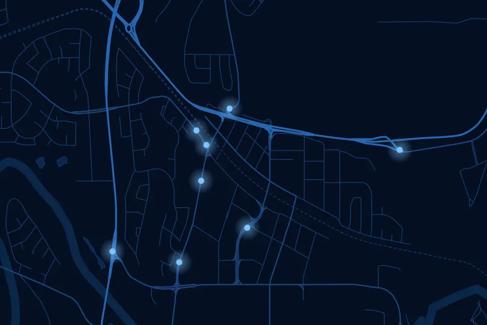 Community SafetyA crowd-sourced map where residents report incidents and safety concerns in real time.
Meet the MRF team at a conference, webinar or training session.

Book a demo and we’ll walk you through the products that fit your departments, configured for organizations like yours.