
Pipeline maps, records and documents that work in the field, online or off.
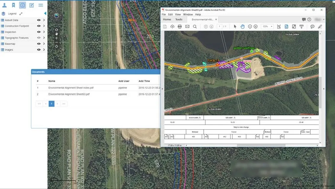
Pipelines cross hundreds of kilometres of remote terrain, and the people maintaining them need accurate maps and records wherever they are. Built on the foundation of MRF Web Map and MRF Mobile GIS, this solution meets the specific needs of the oil and gas industry. It supports map viewing, updating and document retrieval, with seamless online/offline operation that performs even in remote locations.
Why choose the Oil & Gas solution
Proven on a major pipeline
Serving North America's only pipeline with access to the West Coast.
Offline in remote areas
Field crews carry maps and records with them and sync updates when back in coverage.
Documents on the map
Drawings, permits, inspection reports and agreements attached to the pipeline features they describe.
Update from the field
Crews mark up and edit features in the field; changes flow back to the master database.
Products in the Oil & Gas solution
Use them on their own or together. They share the same map, users and data.
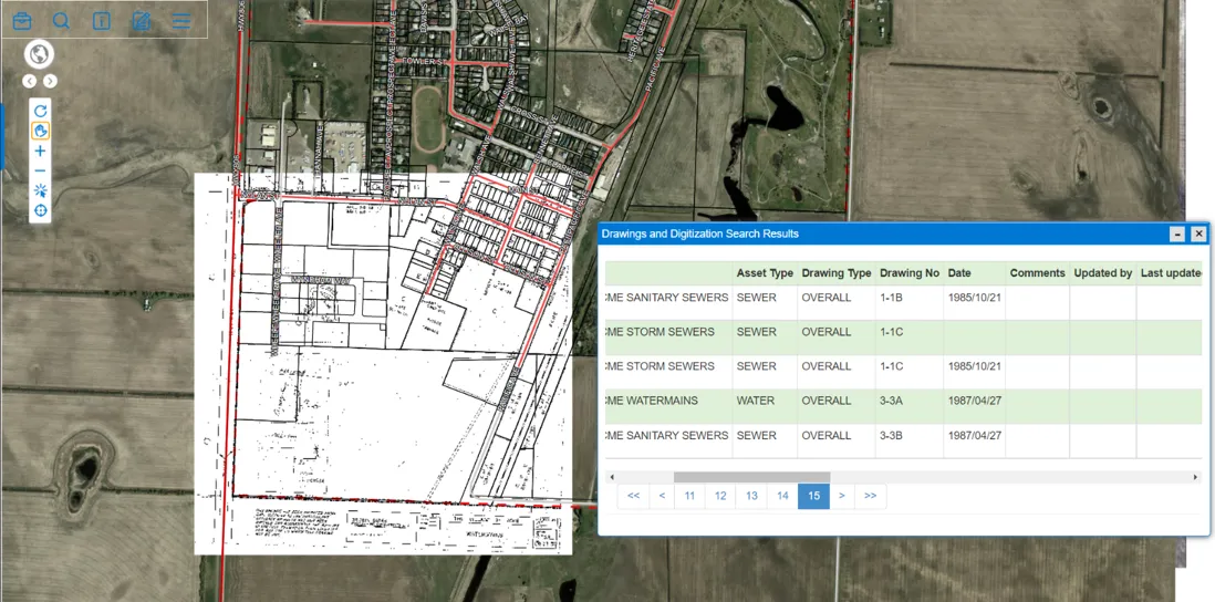
Document Management
Organize drawings, permits, reports and photos by attaching them to the buildings, assets and parcels they describe, then find them by text, feature type, or a click on the map.
Learn more →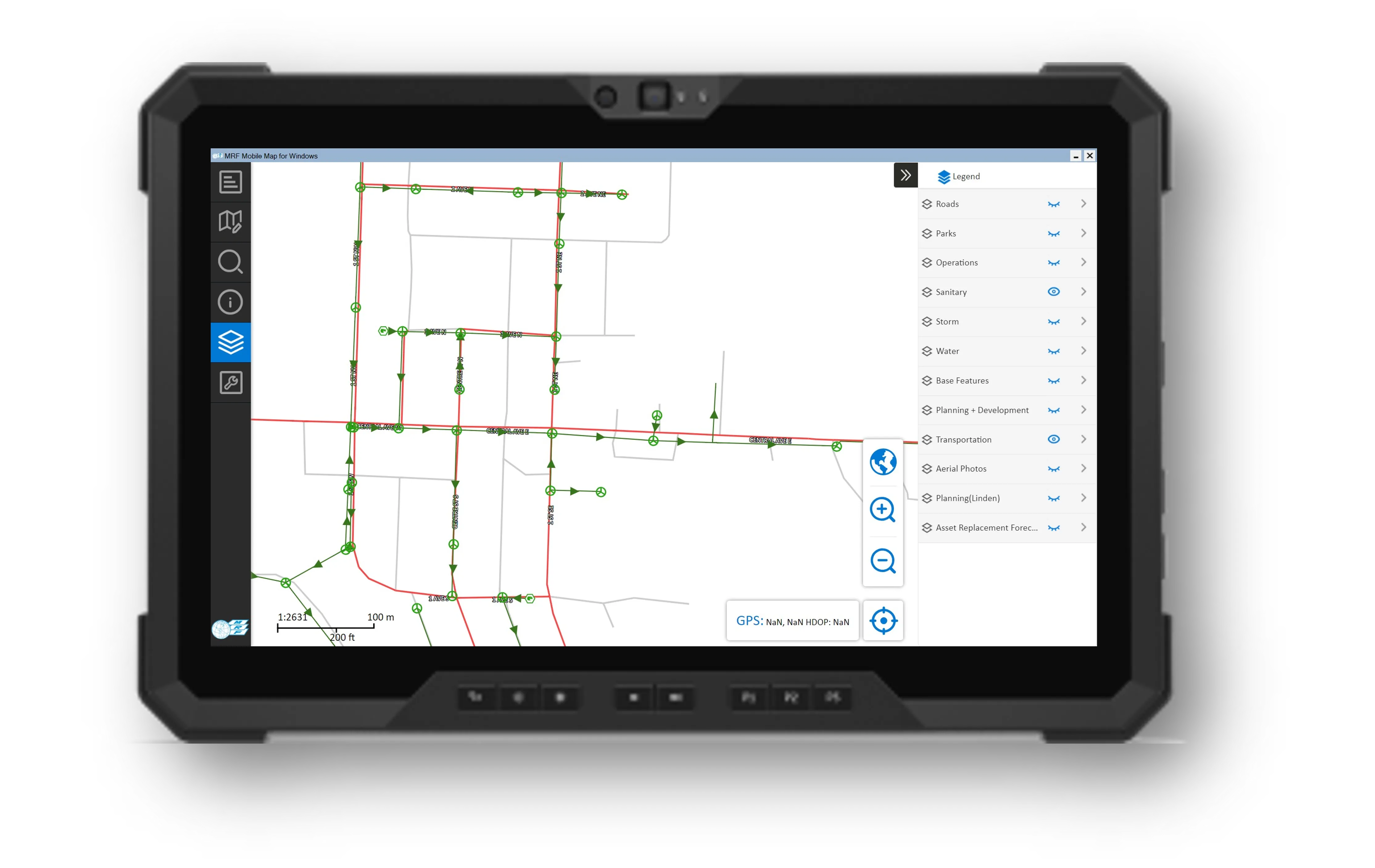
MRF Mobile GIS
Take your GIS into the field: a fast Windows client for full map access and a field collector for phones and tablets, plus the Mobile for Drivers App for operators in the cab.
Learn more →
MRF Web Map
Publish your municipality's GIS data online in hours, not days. Search, identify, edit, mark up and print from any browser, then add modules for the workflows each department owns.
Learn more →More solutions
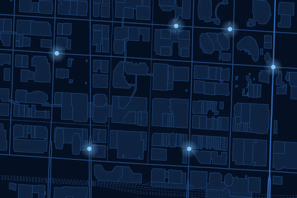 Indoor PositioningPrecise indoor positioning and wayfinding inside large buildings and campuses.
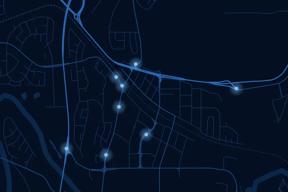 Community SafetyA crowd-sourced map where residents report incidents and safety concerns in real time.
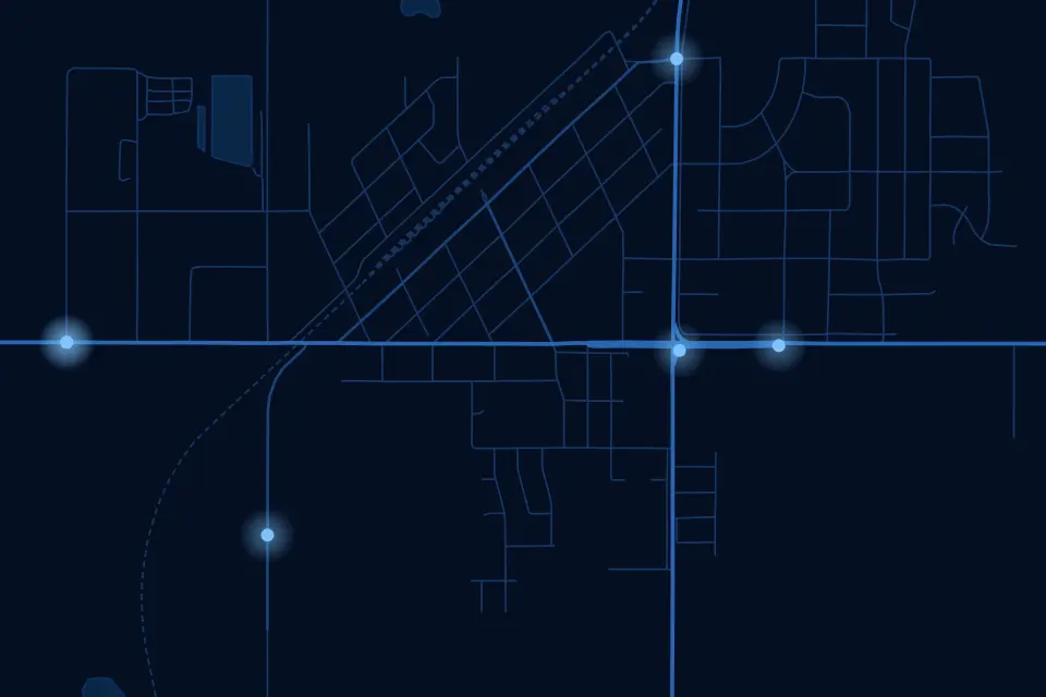 MunicipalOne map-based platform for every department in your municipality.
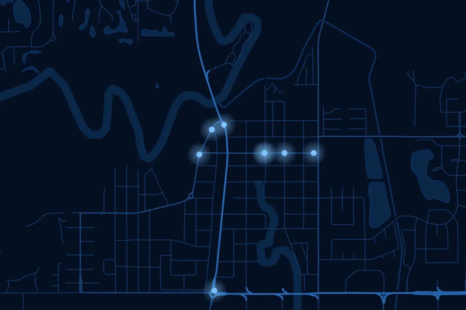 EnforcementTicketing, records and penalties in one platform, built with officers for officers.
See it working with your own data.
Book a demo and we’ll walk you through the products that fit your departments, configured for organizations like yours.