
MRF Mobile GIS
Take your GIS into the field: a fast Windows client for full map access and a field collector for phones and tablets, plus the Mobile for Drivers App for operators in the cab.
MRF Mobile GIS extends MRF Web Map to the people doing the work. Every app reads from and writes back to the same data. Edits made in the field show up in the office, and the field always has the latest map.
Operating a grader or mower? See the Mobile for Drivers App.
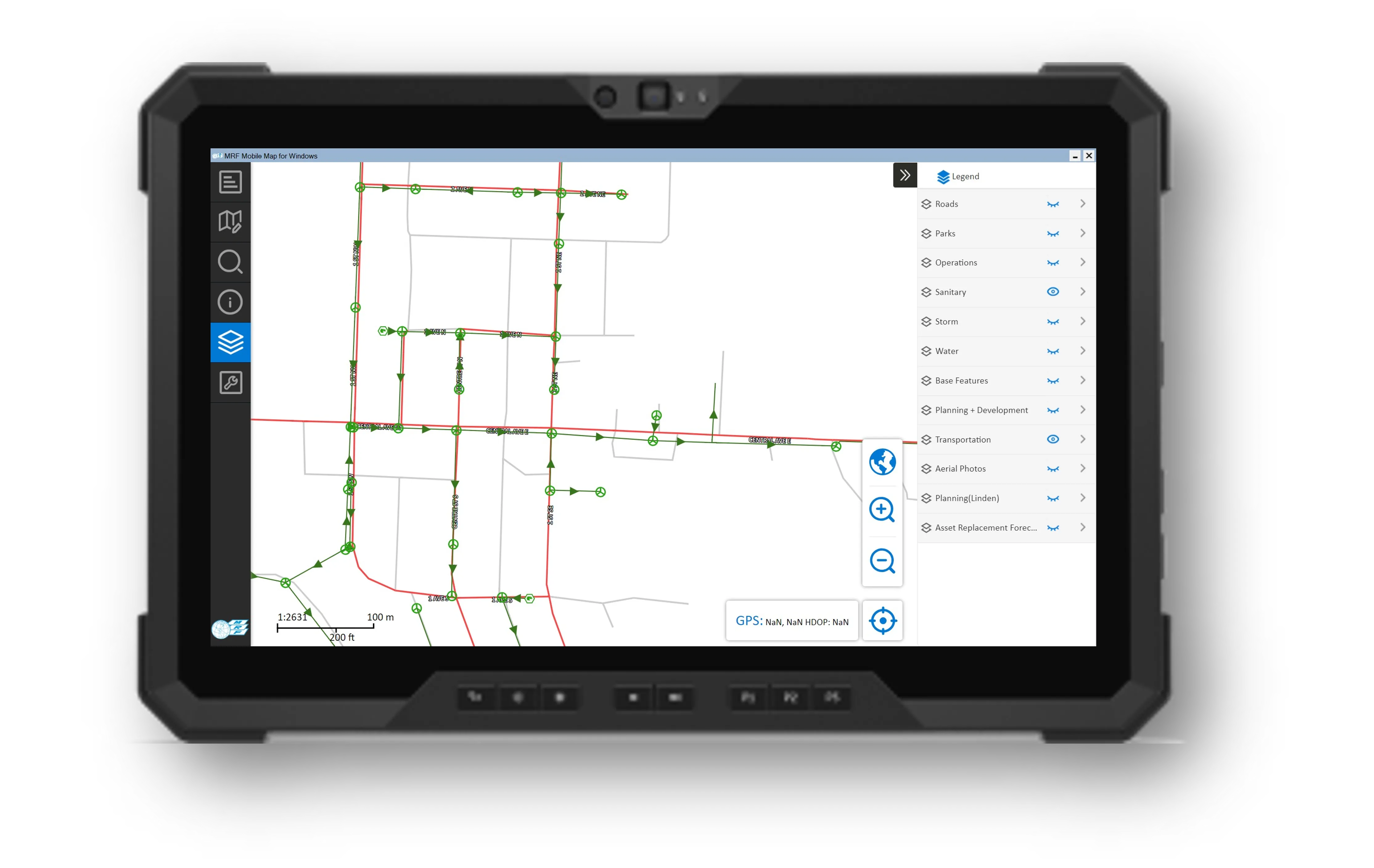
Above: Mobile GIS for Windows on a rugged field tablet.
What you can do with MRF Mobile GIS
Mobile GIS for Windows
A Windows application connected directly to MRF Web Map for faster, smoother access to all of your layers and data.
Field Collector (iOS & Android)
Capture and update features, photos and notes on a phone or tablet, online or offline.
Mobile for Drivers App
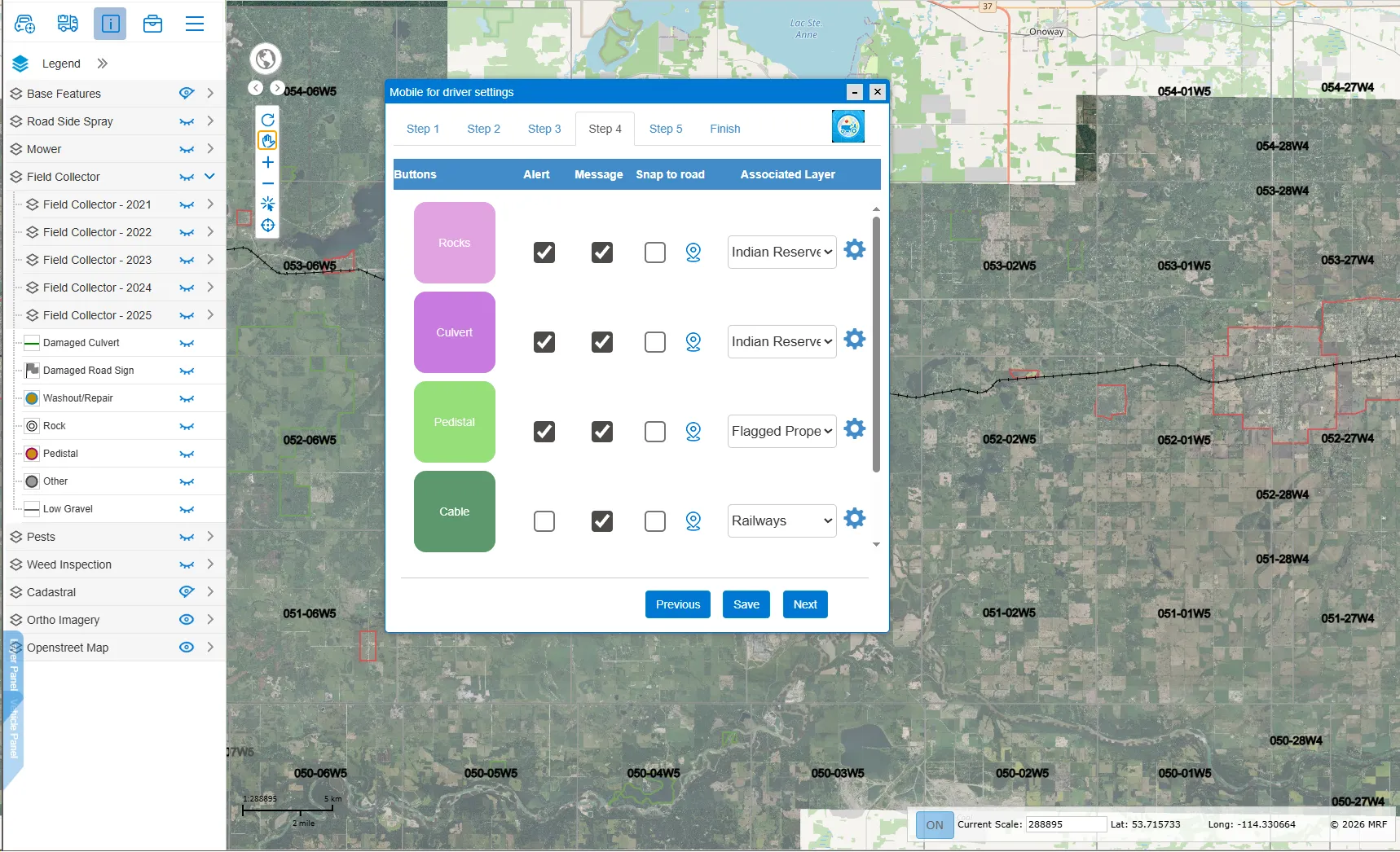
An in-cab app for graders and mowers with issue reporting and obstacle alerts. See its own product page.
Work-alone ready
Add Safety Lite check-ins and SOS for operators working alone.
Works well with
Mobile for Drivers App
In-cab app for grader, mower and truck operators: report road issues and get hazard alerts.
Learn more →
MRF Web Map
The browser-based GIS platform at the heart of every MRF solution.
Learn more →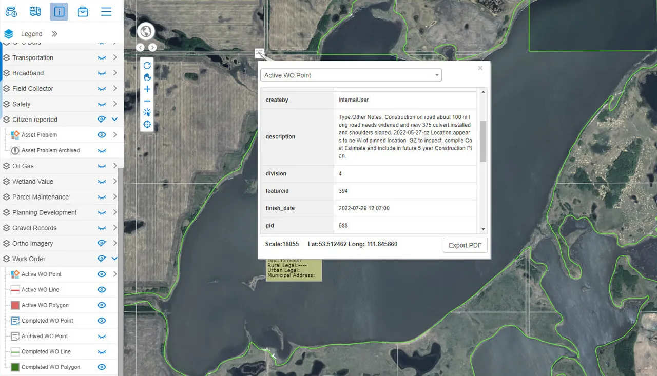
Work Orders
Create, assign and track work orders right where the work is.
Learn more →
See it working with your own data.
Book a demo and we’ll walk you through the products that fit your departments, configured for organizations like yours.