
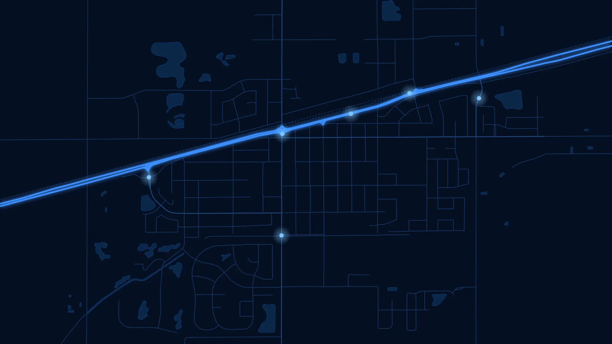
Accurate maps, fast call-outs and complete records for fire departments.
Seconds matter, and so does knowing exactly where you’re going. The MRF Fire Solution combines accurate road network and address data, real-time position monitoring, centralized incident reporting, and staff and equipment tracking, so your team is always ready, responsive and equipped.
Why choose the Fire solution
Better than consumer maps
Built on authoritative municipal road networks and addresses, not consumer map data that misses rural roads and new subdivisions.
The right crew, fast
Notify only the available firefighters you need, matched to their roles and skills.
Every truck on the map
See every apparatus and responder in real time, with offline, voice-guided navigation to the call.
Records in one place
Incidents, permits, training, certifications, inspections and equipment, all tied to the map.
Products in the Fire solution
Use them on their own or together. They share the same map, users and data.
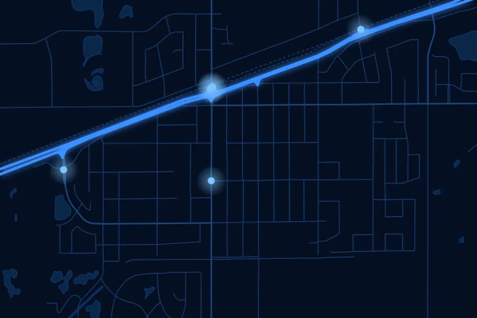
MRF Fire GIS
Authoritative roads and addresses, primary and secondary station for every address, live firefighter locations, pre-plans and annually refreshed aerial imagery.
Learn more →Fire Permit
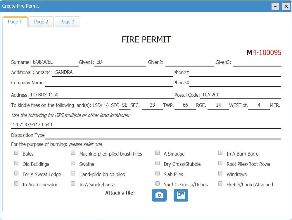
Residents apply for fire permits online; staff review, issue and manage them on the web or the mobile app, with every active permit visible on the map.
Learn more →MRF Fire Notification App
Smart call-out notifications to phones and truck tablets that pick available firefighters by role and skill, balance the workload, and show the whole team on the map.
Learn more →MRF Fire Station Extension
A centralized records platform for fire departments: incident reports, training and certifications, personnel and scheduling, and digital fire prevention inspections.
Learn more →Fire Asset Management
Track apparatus status, mileage and engine hours; manage and inspect SCBA, cylinders and equipment; and keep hydrants and facilities current on interactive map layers.
Learn more →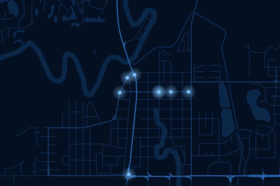
MRF Navigation
Voice-guided, offline navigation built on your municipality's authoritative road network and addresses, including the rural roads and new subdivisions consumer apps get wrong.
Learn more →More solutions
 AirportSmart maps and geospatial tools for airport planning and operations.
 Oil & GasPipeline maps, records and documents that work in the field, online or off.
 Indoor PositioningPrecise indoor positioning and wayfinding inside large buildings and campuses.
 Community SafetyA crowd-sourced map where residents report incidents and safety concerns in real time.
See it working with your own data.
Book a demo and we’ll walk you through the products that fit your departments, configured for organizations like yours.