

Precise indoor positioning and wayfinding inside large buildings and campuses.
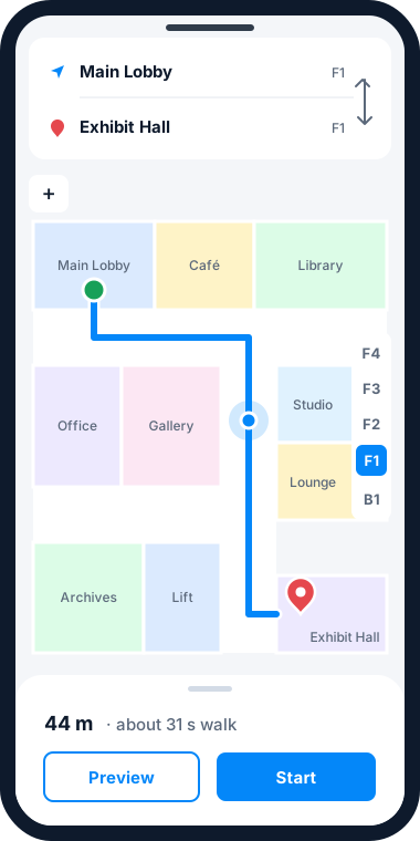
Traditional indoor maps show where things are; they don’t show where you are. The MRF Indoor Positioning Solution uses Bluetooth beacons and Wi-Fi access points to deliver precise indoor positioning and wayfinding, so people can navigate large buildings and complexes with confidence. The same location data can support security, facility operations and staff safety.
See it in action
Why choose the Indoor Positioning solution
Location where GPS can't reach
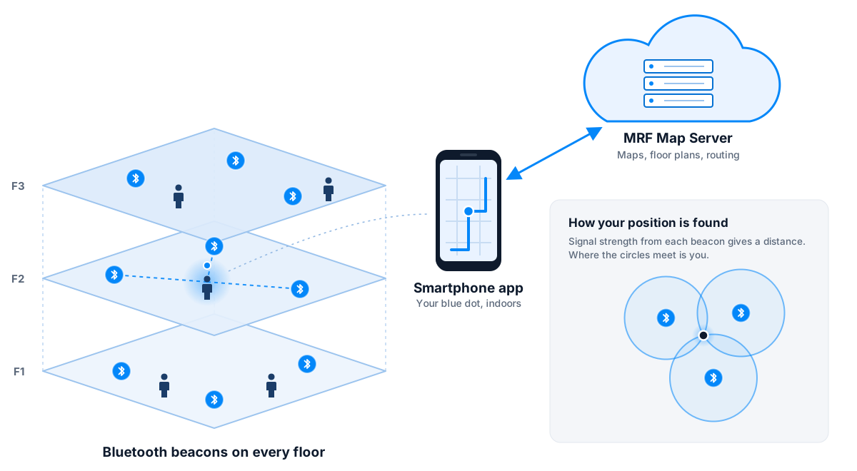
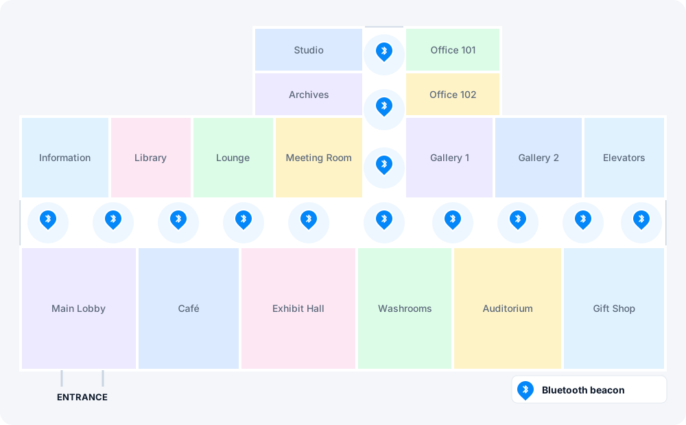
Bluetooth beacons and existing Wi-Fi access points place people and devices accurately indoors.
Turn-by-turn wayfinding
Floor-aware routes guide visitors and staff through terminals, hospitals, campuses and complexes.
Indoor and outdoor, one map
Floor plans join your outdoor GIS data, so a route can start in the parking lot and end at a room.
Safety indoors
Pair with MRF Safety to locate lone workers and responders by building, floor and room.
Configured for your project
The Indoor Positioning solution is delivered as a configured project on MRF’s platform. Talk to us about your site, your data and your goals.
More solutions
 Community SafetyA crowd-sourced map where residents report incidents and safety concerns in real time.
 MunicipalOne map-based platform for every department in your municipality.
 EnforcementTicketing, records and penalties in one platform, built with officers for officers.
 Vehicle TrackingAVL hardware, real-time tracking and fleet records on your own municipal map.
See it working with your own data.
Book a demo and we’ll walk you through the products that fit your departments, configured for organizations like yours.