
Mower Extension
Track roadside and field mowing as it happens. Each mower's coverage is drawn on the map in its own colour, so supervisors can see what's been mowed, by which unit, and report on the whole program.
Roadside mowing covers thousands of kilometres every season, often with seasonal operators who don’t know every road. The Mower Extension adds mowing to MRF Web Map: every unit’s coverage is recorded and drawn on the map, so supervisors get an accurate, mapped record of the program without paperwork.
For operators in the cab, the Mobile for Drivers App adds issue reporting and obstacle alerts.
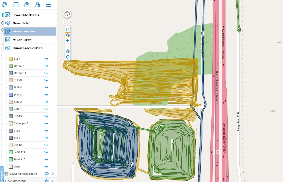
Above: Mowed areas for each unit, colour-coded on the map, with the mower tools menu.
What you can do with Mower Extension
Mowed areas on the map
Each mower's coverage is drawn as colour-coded areas on MRF Web Map, so you can see exactly what has been cut and where.
Mower overview
See all of your mowers and their work at a glance, and show or hide units as needed.
Focus on one mower
Display a specific mower to review that unit's work on its own.
Mower setup
Set up your mower fleet, with each unit listed in its own colour in the layer panel.
Mower reports
Run mower reports for supervisors and year-end program reporting.
Work-alone safety
Add Safety Lite check-ins and SOS for operators working alone.
Works well with
Mobile for Drivers App
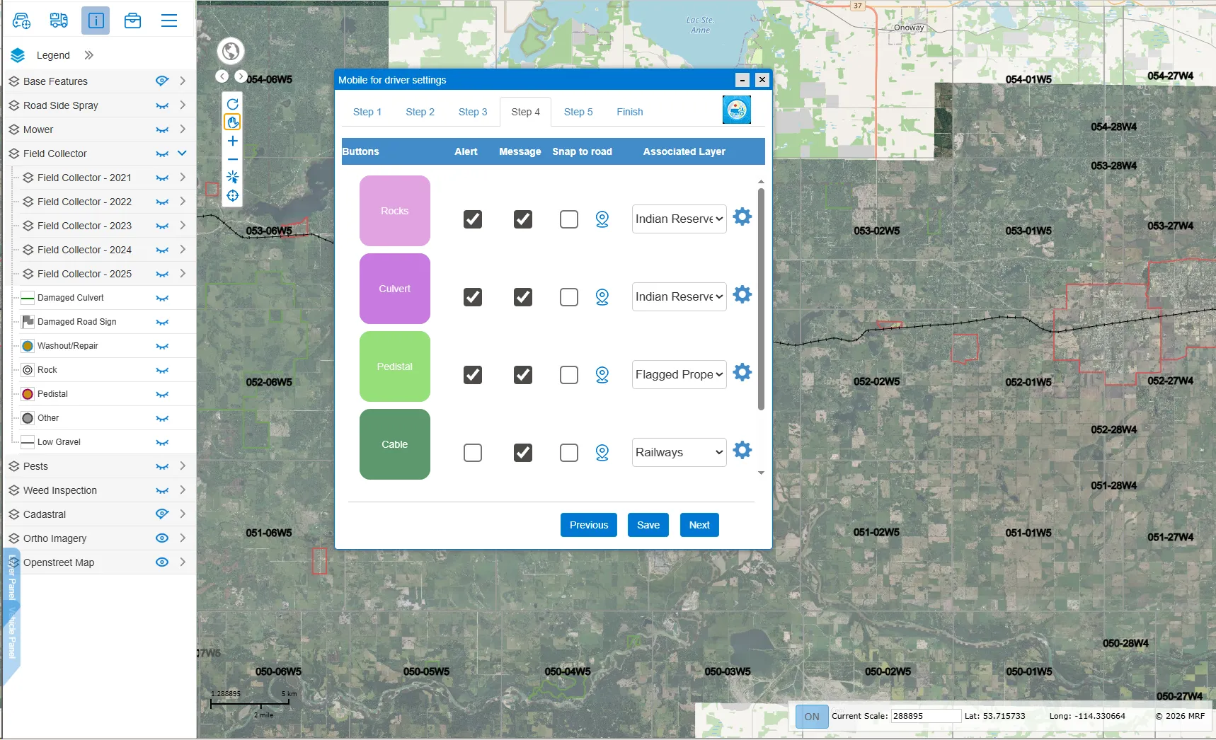
In-cab app for grader, mower and truck operators: report road issues and get hazard alerts.
Learn more →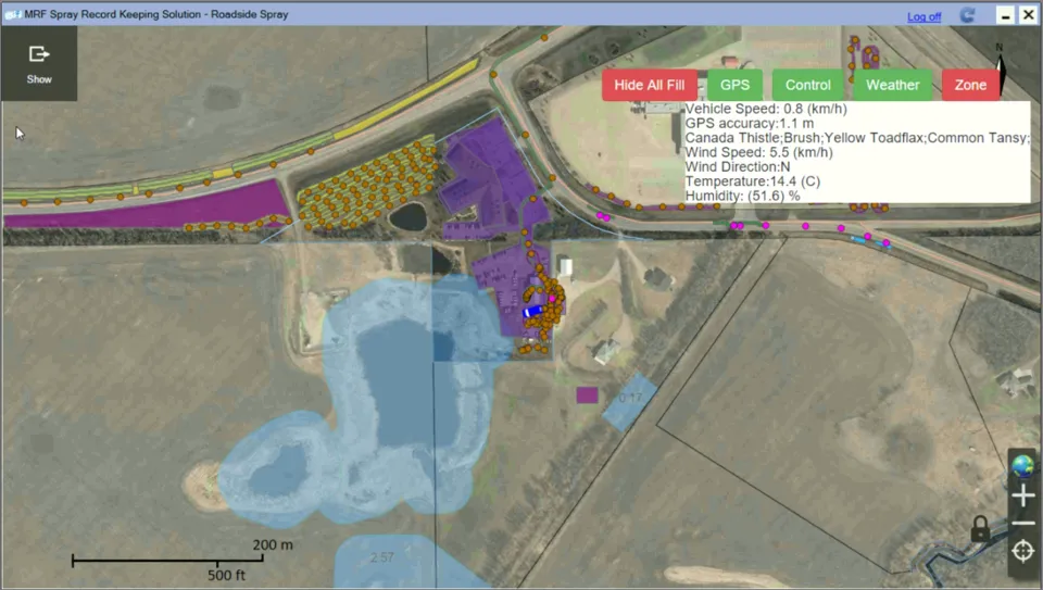
Spray Truck App
Map spray coverage, avoid overlaps and shut off at no-spray zones automatically.
Learn more →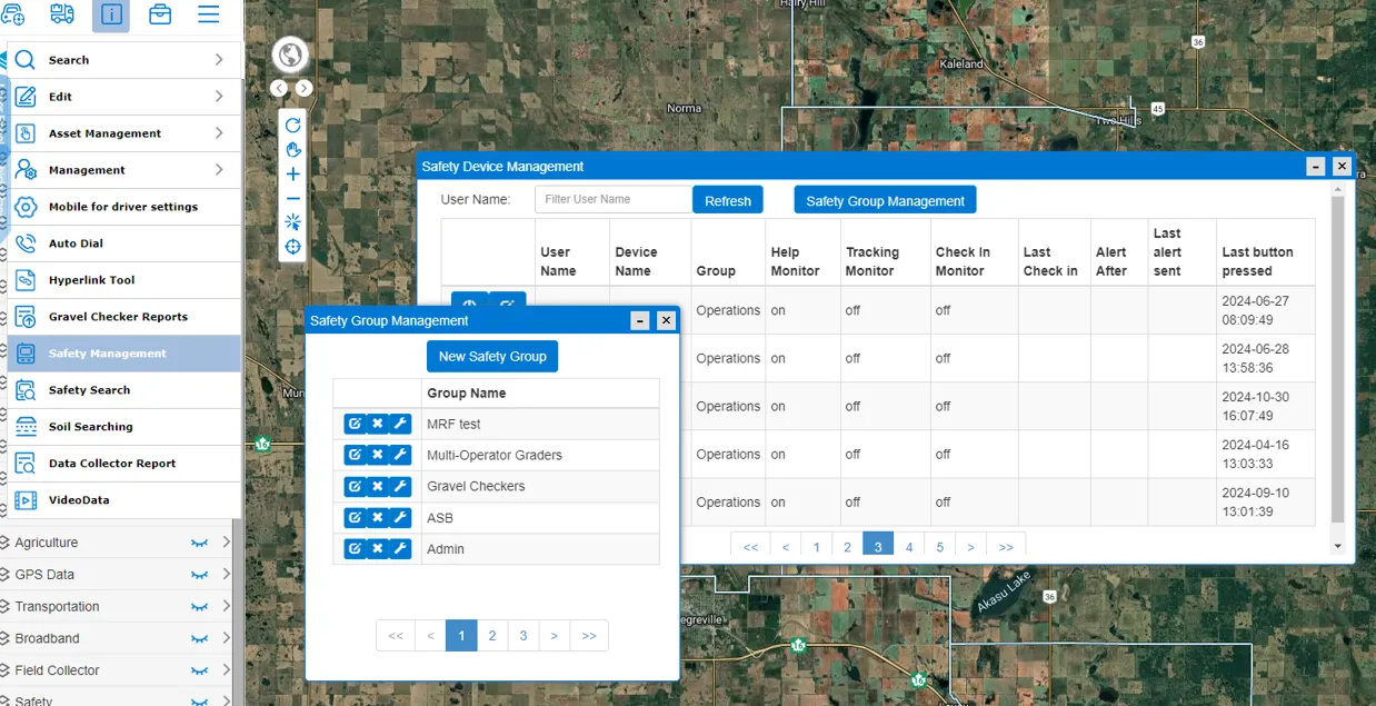
MRF Safety Lite
A streamlined, essential safety solution for municipal self-management.
Learn more →
See it working with your own data.
Book a demo and we’ll walk you through the products that fit your departments, configured for organizations like yours.