

Weed Inspection
Inspectors map weed infestations in the field with GPS, record species, growth stage and habitat from pick lists, and sync to MRF Web Map, where administrators configure the program, manage complaints and search cases.
MRF Weed Inspection helps agricultural services departments run their weed programs: inspecting properties, tracking occurrences and complaints, and reporting on results. Inspectors work in the field on a tablet, and administrators use MRF Web Map to configure the program, manage complaints and search cases.
MRF has been building weed inspection software with Alberta municipalities since 2012. The product is now in its third generation.
Core capabilities
- Display basic map layers, such as parcels and roads.
- Capture weed polygons with the built-in GPS.
- Record the weed, growth status and habitat from predefined pick lists.
- Create a weed inspection report in PDF format.
- Sync data over an internet connection from the tablet to MRF Web Map.
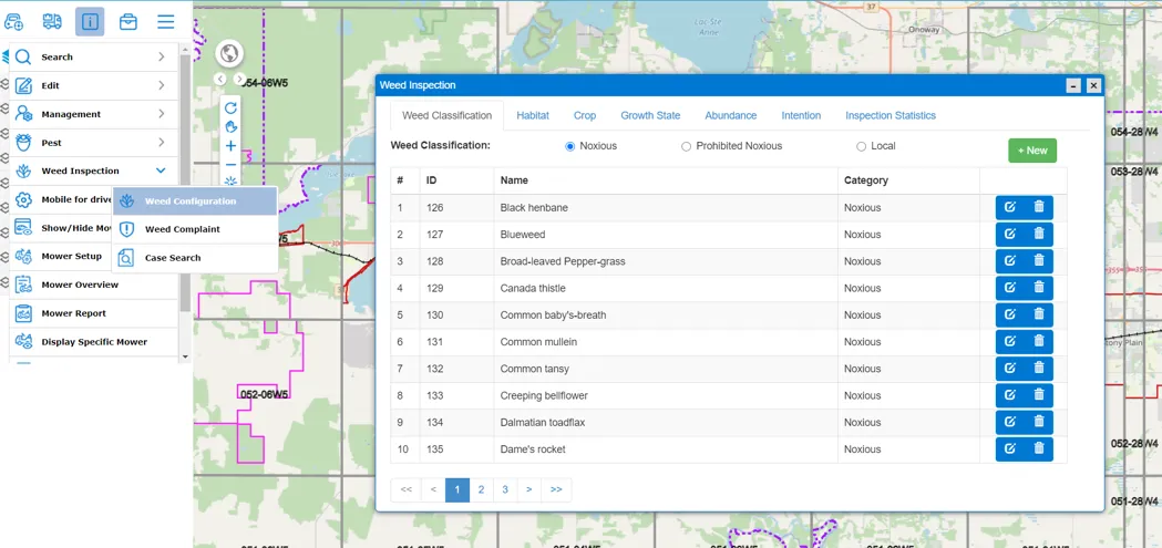
Above: Weed configuration in MRF Web Map, from classifications to growth states and intentions.
How Weed Inspection has evolved
3 generations, each built with the people who use it in the field.
- 2012
Weed inspection goes digital
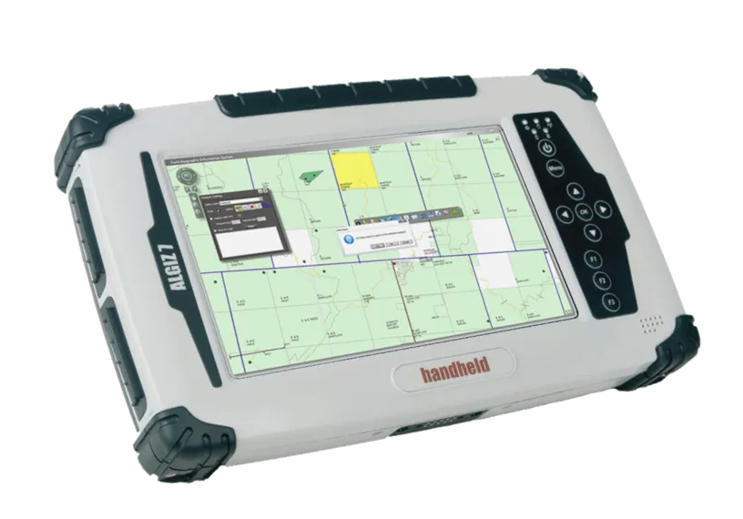
The first MRF Weed Inspection put parcel and road maps on rugged handheld tablets, so inspectors could capture weed locations with GPS in the field.
- 2015
A full map on a modern rugged tablet
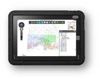
Version 2 moved to larger rugged tablets, with a full map toolbar and layer list for parcels, roads and inspection data.
- Today
Full case management in the field
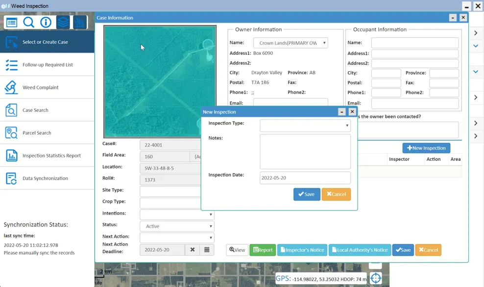
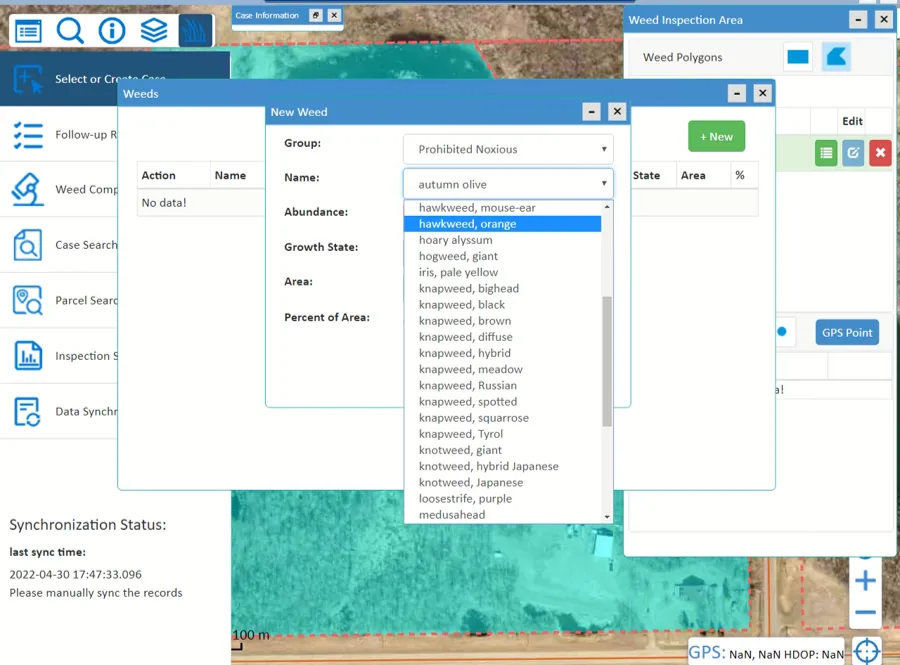
Today's Weed Inspection is a complete case-management app on the tablet. Inspectors select or create a case, see owner and occupant details, record inspections, and add weeds by group, species, abundance, growth state and area against GPS-drawn weed polygons. They can issue inspector's and local authority's notices, and sync with MRF Web Map after working offline. Weed configuration, complaints and case search run in MRF Web Map (shown at the top of this page). An Android version is on the way.
What you can do with Weed Inspection
Field inspections
Record weed occurrences, species and notes against a location, with all synced data available on the device, even offline.
Complaint tracking
Log weed complaints and follow each one through inspection to resolution.
Case search
Search and review inspection and complaint cases in MRF Web Map.
Configurable
Administrators manage weed classifications (noxious, prohibited noxious, local), habitats, crops, growth states, abundance and intentions from MRF Web Map.
Sign-in and SSO
By default, users sign in with their MRF Web Map account. Single sign-on (SSO) with Microsoft Azure / Entra ID credentials is also supported.
One account, field and office
Inspectors and administrators use the same account on the tablet and in MRF Web Map for configuration and reporting.
Works well with
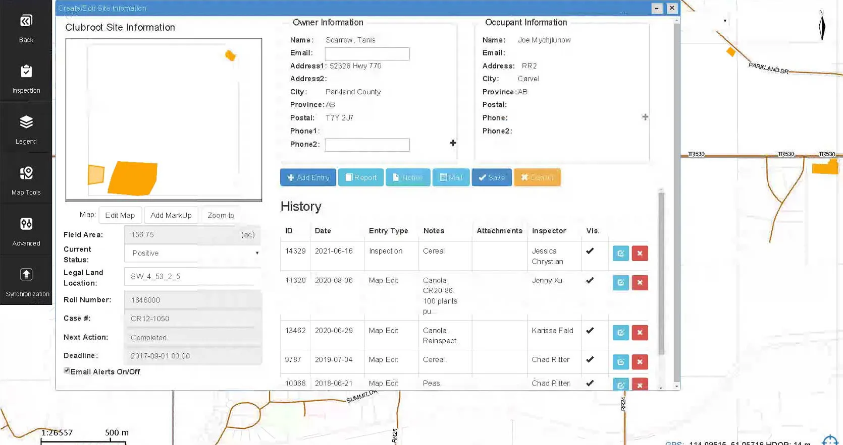
Pest Inspection
Record pest surveys and inspections in the field, mapped and reportable.
Learn more →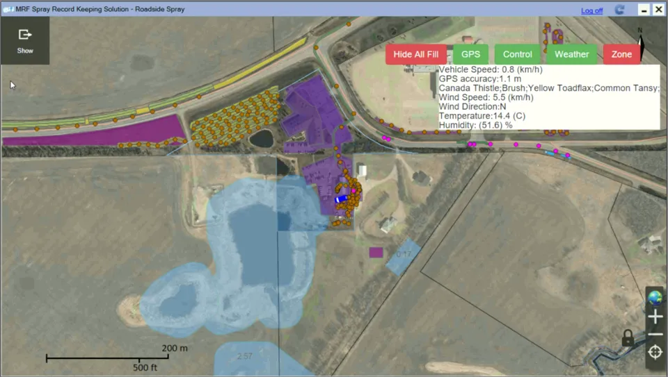
Spray Truck App
Map spray coverage, avoid overlaps and shut off at no-spray zones automatically.
Learn more →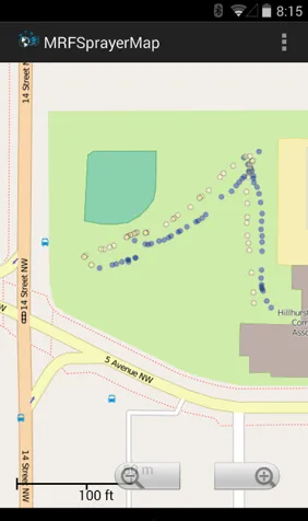
Handheld Spray
A Bluetooth sensor on the spray gun records every application automatically.
Learn more →
See it working with your own data.
Book a demo and we’ll walk you through the products that fit your departments, configured for organizations like yours.