
Land Use Allocation Framework (LUA)
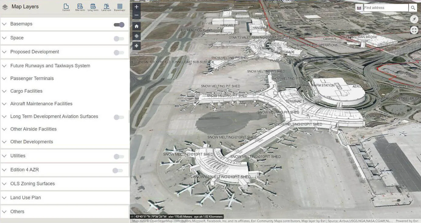
Visualize mid- and long-term structures, land-use plans and terminals in 3D, drill into the attributes of every asset, and bring plans to life with interactive video.
The Land Use Allocation Framework helps airport planners and stakeholders see the future of the airport, not just read about it. Long-term plans become a 3D environment everyone can explore and discuss.
Above: Land-use plans and terminals in 3D.
What you can do with Land Use Allocation Framework
3D visualization
Explore planned structures, land-use plans and terminals in an immersive 3D scene for better understanding and collaboration.
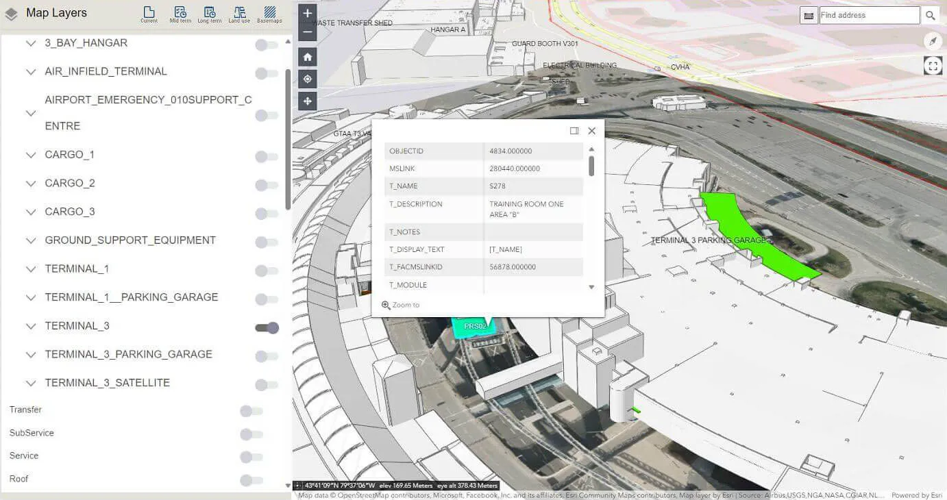
Attribute display
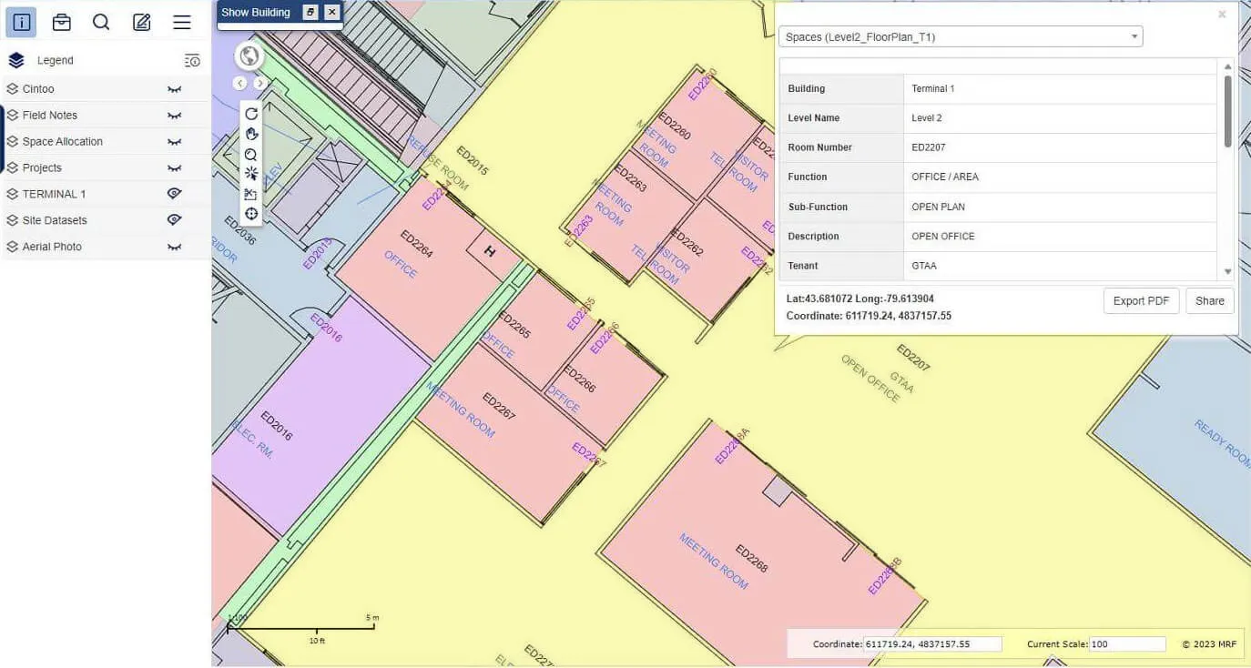
Detailed attribute data for every asset, one click away.
Interactive videos
Video of associated structures adds a dynamic perspective to static development plans.
A closer look

See it working with your own data.
Book a demo and we’ll walk you through the products that fit your departments, configured for organizations like yours.