
Property & Taxation
Connect MRF Web Map to your taxation database and give staff the latest land, ownership, assessment and tax information for any parcel in one click.
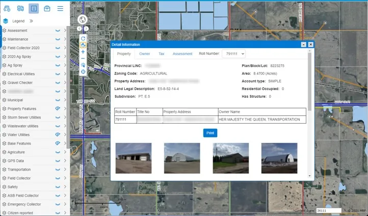
Answering “who owns this, and what’s it assessed at?” shouldn’t mean switching between three systems. Property & Taxation integrates MRF Web Map with your taxation database. Click any parcel and a detailed information window shows the latest land, ownership and tax data, organized into clear tabs.
Above: Everything about a parcel, one click away.
What you can do with Property & Taxation
Property
Zoning code, lot/block/plan, area and full legal land description.
Owner
Owner name, type, mailing address and contact information.
Tax
Land value, improvement value, total assessment, annual taxes and when the tax data was last updated.
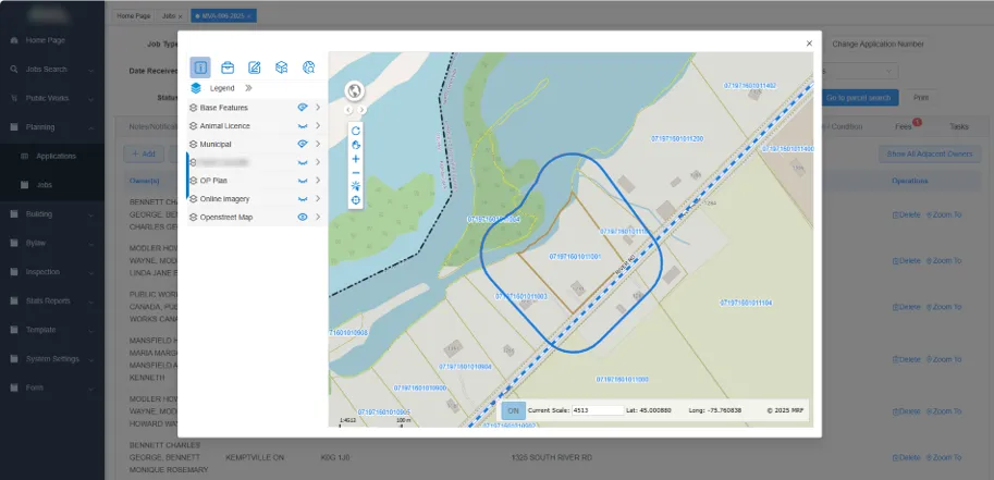
Adjacent owners
A ready-made table of neighbouring parcels with owner names and addresses, ideal for notification letters.
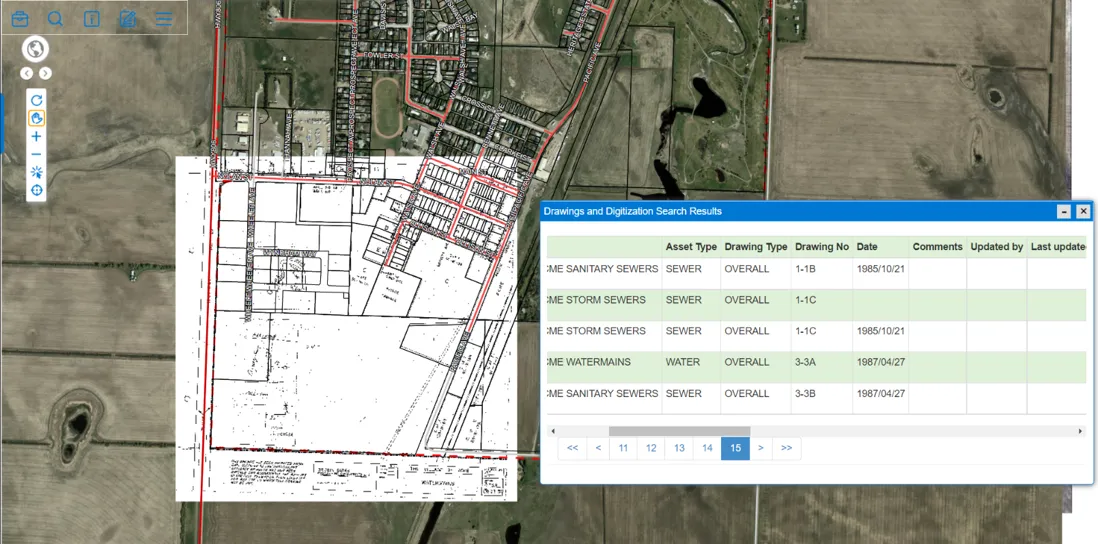
Assessment documents
Store and retrieve assessment documents by roll number, right from the parcel.
Works well with


See it working with your own data.
Book a demo and we’ll walk you through the products that fit your departments, configured for organizations like yours.