
MRF StreetView
Like Google Street View, but for your municipality, on your schedule, and with LiDAR point clouds behind each scene. Browse 360° imagery collected along your roads, measure anything you can see, and extract signs and other features right from the imagery.
MRF StreetView is a next-generation, web-based street view for your municipality. It’s similar to Google Street View, but built from imagery collected for you, with LiDAR point clouds behind each scene. Staff can “drive” any road from their desk, check sign and roadside conditions, and extract assets into the GIS without sending a truck.
Need a continuous panoramic video record instead of still images? See 360 Road Video.
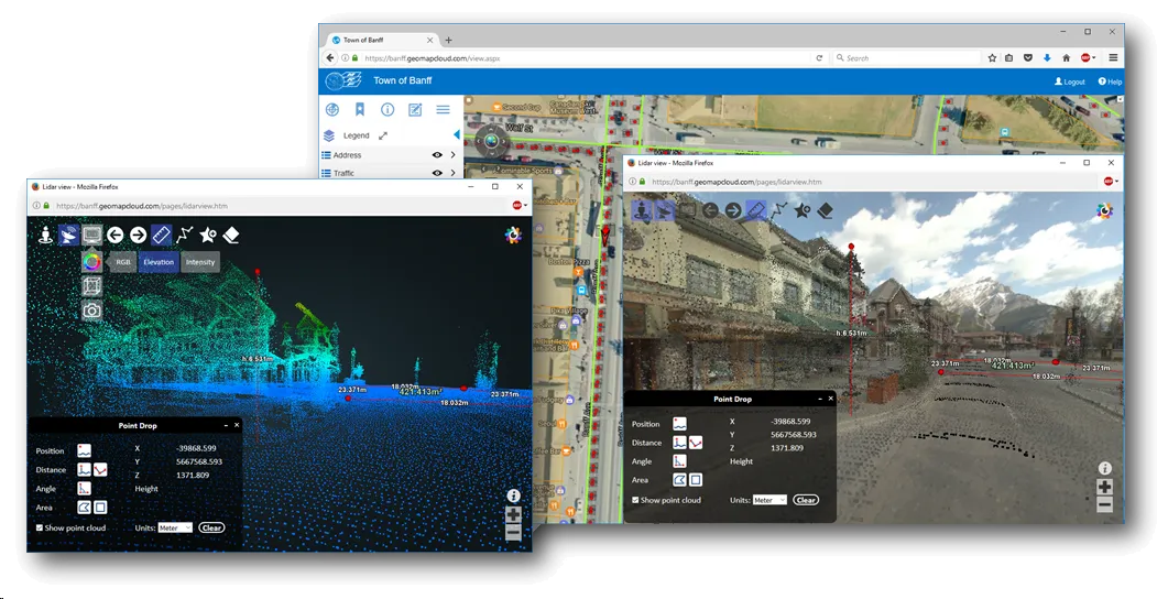
Above: Street-level imagery with LiDAR behind every scene, linked to the web map, plus the point cloud view coloured by elevation.
What you can do with MRF StreetView
Your roads, your imagery
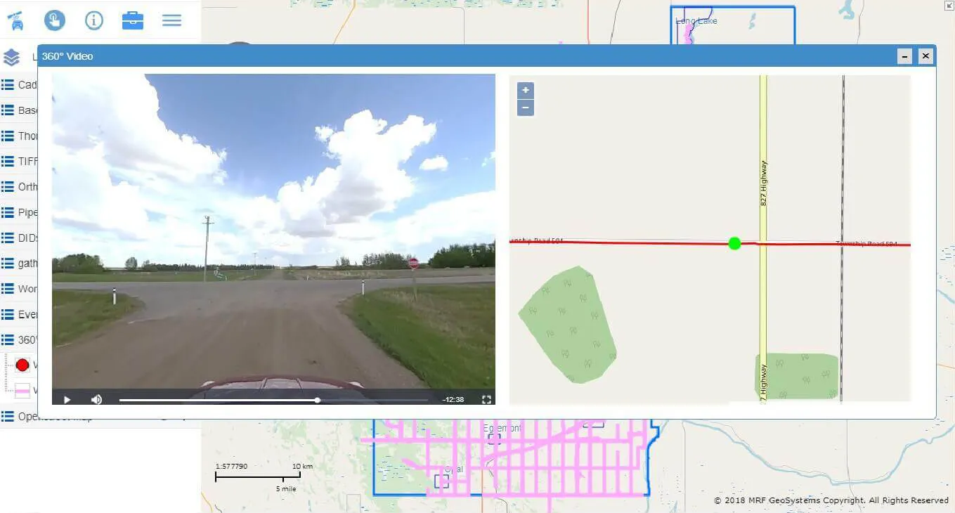
Street-level 360° photos collected by MRF's mobile sensors, including the rural roads consumer services never visit.
LiDAR behind every scene
Each street-level image is backed by a LiDAR point cloud. Switch to the point cloud view and colour it by RGB, elevation or intensity.
Measure from your desk
Drop points to get real-world coordinates (X, Y, Z), and measure distances, angles, heights and areas, in metres or feet, without a site visit.
Feature extraction
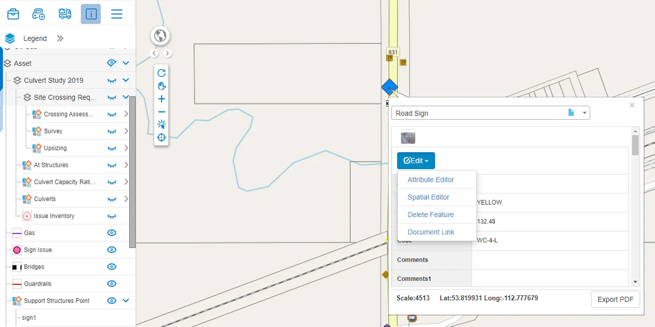
Inventory signs, poles, culverts and other roadside assets directly from the imagery into your GIS.
Linked to the map
Click anywhere on MRF Web Map to jump to the nearest street-level view.
Works well with


See it working with your own data.
Book a demo and we’ll walk you through the products that fit your departments, configured for organizations like yours.