
360 Road Video
A cost-effective panoramic video record of every road you own: a visual baseline for asset inventories, planning, and before-and-after evidence for disaster recovery funding.
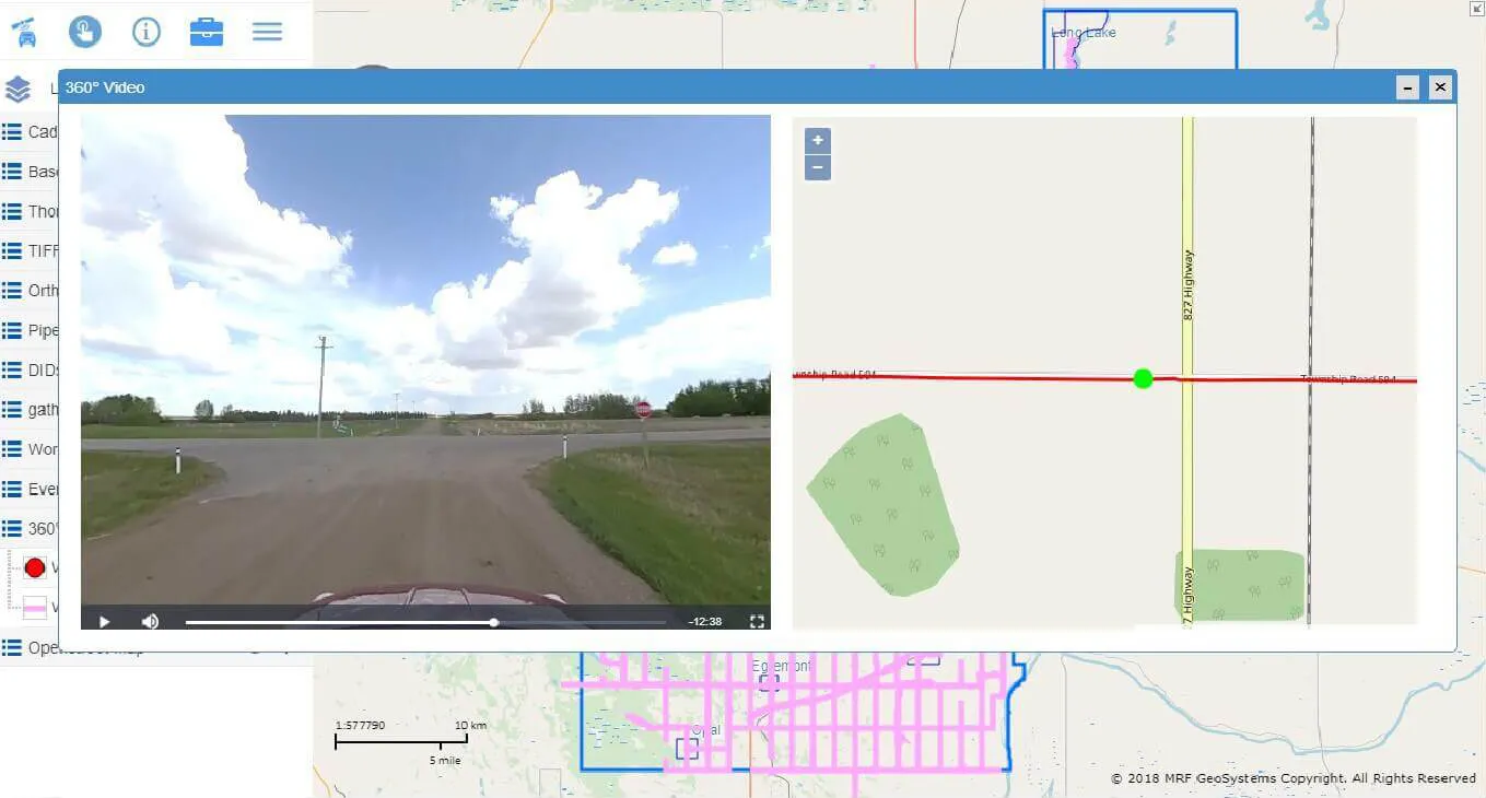
360 Road Video is a simplified alternative to 360° LiDAR. Instead of individual still images, it captures continuous panoramic video of your roads, which you can play back on the map. It’s an important reference for day-to-day operations, and a snapshot in time you’ll be glad to have. After a major flood, it shows exactly what your infrastructure looked like before.
Above: Panoramic video synchronized with location on the map.
What you can do with 360 Road Video
A complete visual record
360° panoramic video of your road network, played back in sync with the vehicle's position on the map.
Sign and asset inventory
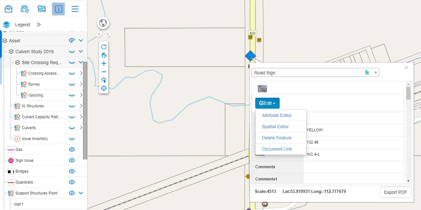
MRF can extract road signs and other roadside assets from the footage to build or update your inventory.
Evidence when you need it
Counties have used their road video to show pre-flood conditions when applying for disaster recovery funding.
Simpler than LiDAR
A lighter, lower-cost alternative to full 360° LiDAR collection when imagery is all you need.
Works well with


See it working with your own data.
Book a demo and we’ll walk you through the products that fit your departments, configured for organizations like yours.