
LiDAR Road Condition Assessment
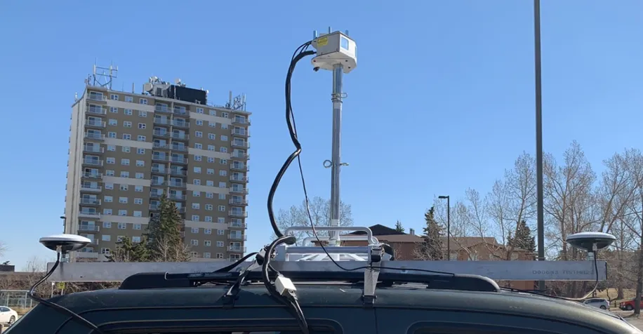
A solid-state LiDAR scanner mounted on a truck measures the full cross-section of your gravel roads, from crown to backslope, and scores every section consistently. Measurement replaces rulers, gauges and guesswork.
Gravel roads are traditionally rated by eye, with a ruler or a gauge, so two inspectors on the same road can reach different answers. MRF LiDAR Road Condition Assessment uses a truck-mounted solid-state LiDAR scanner to measure your gravel roads instead. The approach is based on science and is far more consistent.
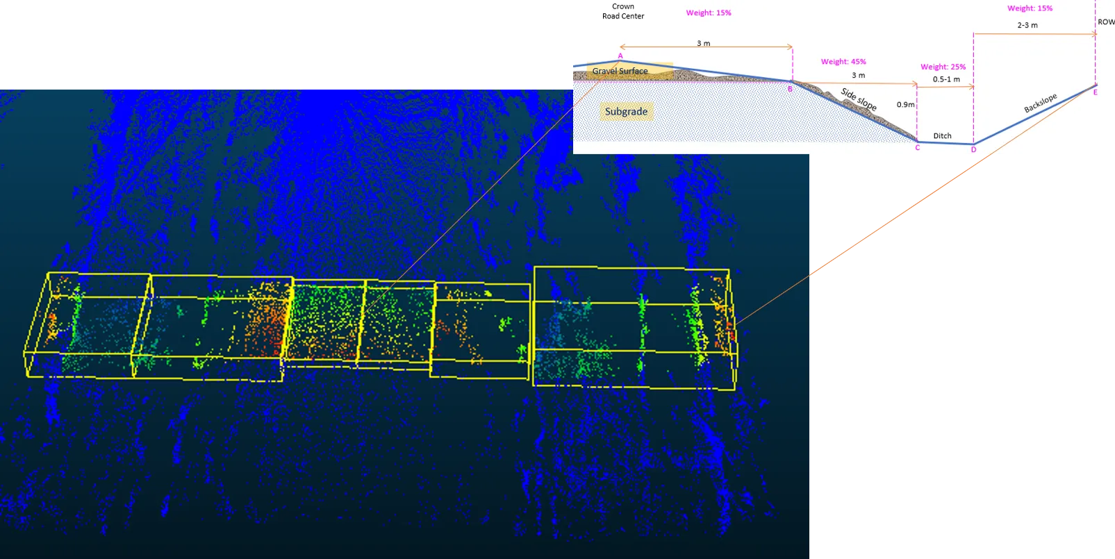
The scanner captures a dense 3D point cloud as the truck drives. MRF measures each part of the road cross-section (gravel surface and crown, side slope, ditch and backslope), weights them into a rating score, and assigns every section a rating class. Results appear in MRF Web Map and feed MRF Asset Management for maintenance and rehabilitation planning.
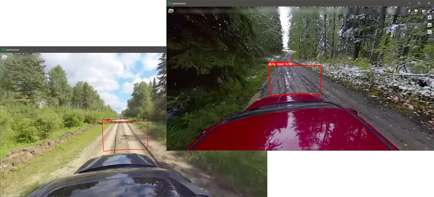
For a camera-based approach using dashcam video, see AI Road Condition Assessment.
How each cross-section is weighted
- Gravel surface and crown, from road centre: 15%
- Side slope: 45%
- Ditch: 25%
- Backslope to the right-of-way: 15%
Above: The point cloud is split into sections and each part of the road cross-section is measured and weighted.
What you can do with LiDAR Road Condition Assessment
Truck-mounted LiDAR
A solid-state LiDAR scanner on a standard truck captures the road surface and roadside at driving speed.
Science, not guesswork
Instead of rulers and gauge meters, every section is measured the same way, so ratings are objective and repeatable.
The whole cross-section
Gravel surface and crown, side slope, ditch and backslope are each measured from the point cloud.
Weighted scoring
Each part of the cross-section is weighted (gravel surface 15%, side slope 45%, ditch 25%, backslope 15%) into one rating score.
Left, right and average
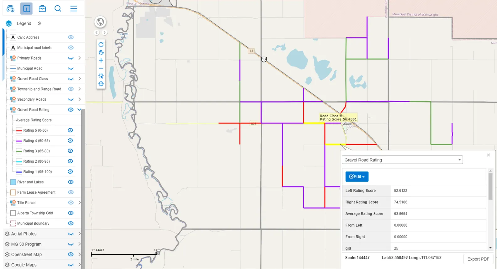
Each side of the road is scored separately, along with an average rating score and the road class.
Five rating classes on the map
Roads are colour-coded from Rating 1 (95–100) to Rating 5 (0–50) in MRF Web Map, ready for maintenance and rehab planning.
A closer look
“When first approached about using LiDAR to rate roads, I was not expecting the product to be so effective in our Asset Management and in planning major road rehab projects. It has turned out to be excellent in both, and I would recommend it for any municipality looking to update Asset Management and Gravel Road Ratings.”
Works well with
AI Road Condition Assessment
Deep learning that turns dashcam video into located road issues and condition ratings.
Learn more →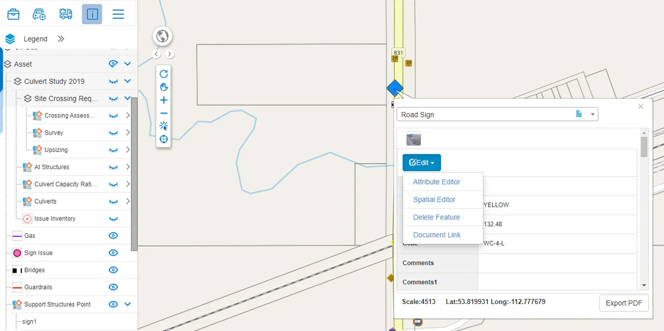
Asset Management
Catalogue, inspect and plan for every municipal asset, on the map.
Learn more →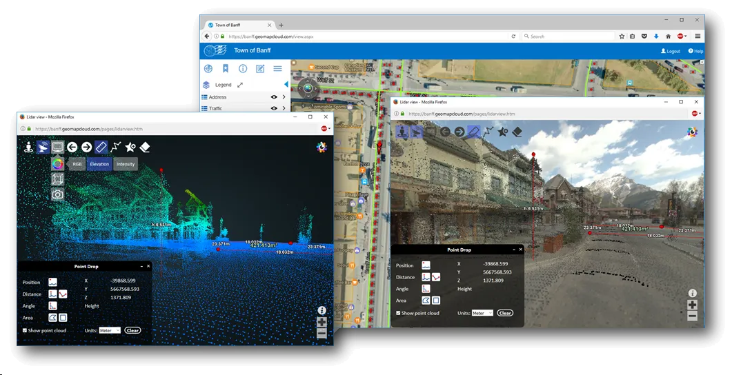
MRF StreetView
Street-level 360° imagery and LiDAR of your own roads, in the browser.
Learn more →
See it working with your own data.
Book a demo and we’ll walk you through the products that fit your departments, configured for organizations like yours.